statcounter

Monday 31 December 2012

2012 Norra Bad Year, But It End in Floods

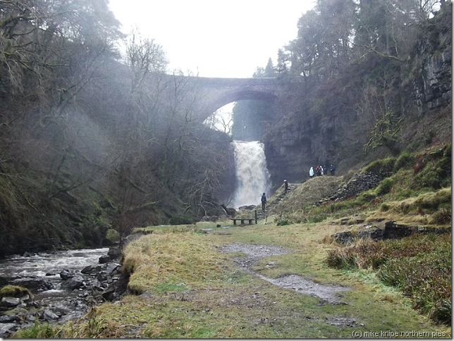
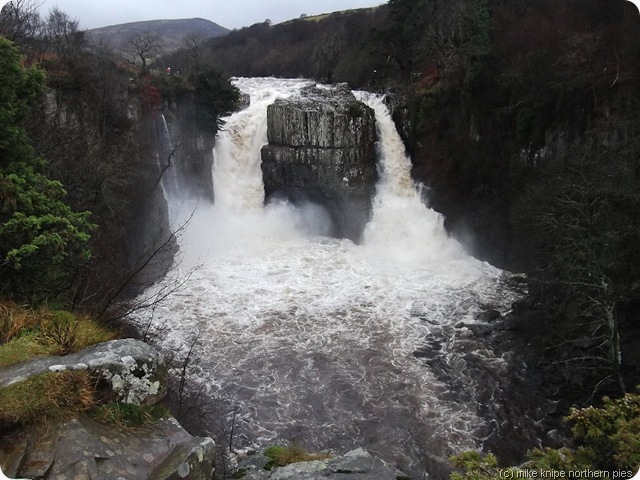
high force in flood 
Last walk of the year and whilst it doesn’t go exactly to plan – it turns out quite exciting in the end. I had intended to wander up the track from Forest in Teesdale school up on to Fendrith Hill – wander westwards for a bit and then come down to Langdon Beck for a final flourish by the Tees. When I let Trex the cat in at half six or so this morning, it was dark and howling outside and sheeting down with rain. After the cat had shook off the water from his fur and tucked into breakfast, we both went back to our beds – we all went back to our beds, and I include Bruno in this.
low force
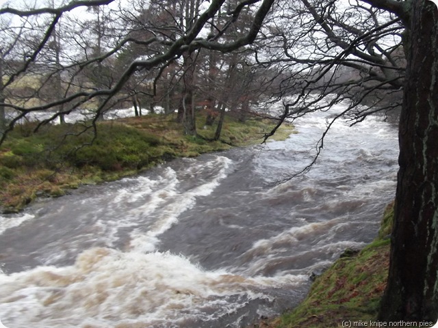
Later… after breakfast, I drove up Teesdale through floods and bits of trees and , on the way to Forest, through the swishing of the windscreen wipers, I caught a glimpse of the River Tees. Peg Powler (look it up!) was clearly having a roll and the river was angry and looking for somebody to drown. I had to have a look.
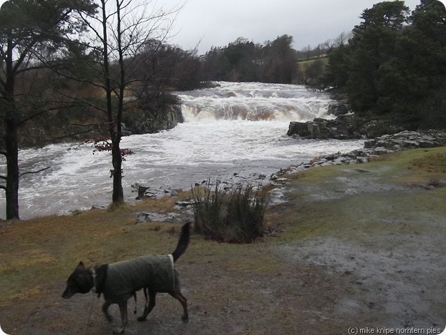
high force 004
It was magnificent. It roared and thundered and hurtled past in a chaos. We wandered from Low Force up to High Force for the pics. I took a few videos on the camera to show the force of the Forces, but there’s a downloading problem. they’re all on the memory card, but they don;t want to come off. They’ll have to stay there pro tem. I’ll see if I can recover them somehow. The problem seems to be that the camera that took the pics has a broken USB slot, so I use a different camera to download (not mine, so I don’t take it out in the wild..) and there’s some kind of issue with it being a different camera. Bugger.  never mind.
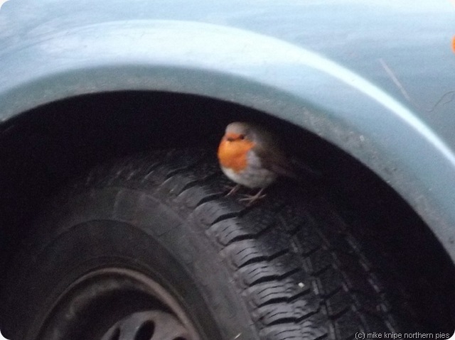
robin
Later, after scoffing lunch in the knipemobile, watched closely by a robin under the wheel arch of the car parked next to mine, I tried to visit Gibson’s cave but was prevented by a mud slide of a particularly liquid kind of slutch which even superdawg hesitated over. I decided to go to Ash Gill near Garrigill. This proved to be equally stupendous and I managed to get wetly behind the waterfall. Bruno wasn’t keen on the roar and the spray, so we wandered downstream to see more waterfalls – then home.
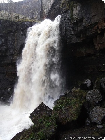
ash gill force ash gill
We managed about seven miles altogether.  And this was the last walk of the year, the scores on the doors of which are below -  2010 in brackets (I can’t spell perenthesesss):
Number of days with walks: 196 (129)
Total distance:  1735 miles (931)
Total ascent: 250500 feet (150000)
Guided walks: 25 (13)
Miles 237 (87)
Punters attending 329 (104)
Deaths 0 (0)
Lost without trace 0 (0)
Injuries 2 (0) (dammit)

Highlights:
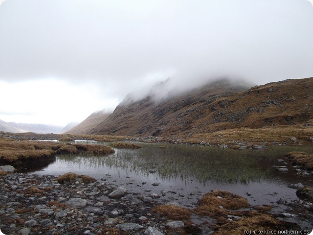
tgo 2012 010
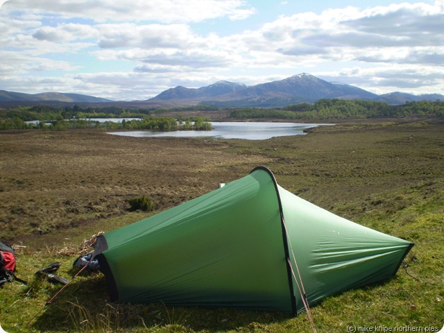
TGO Challenge – From Strathcarron to Aberdeen. 10 wild camps, a few hills bagged, some naughty weather, some good crack – specially in Red Bothy and Cock Bridge but, over all, despite some people being a bit psyched out , presumably by the monochrome nature of the weather for the first week (it snowed/rained/blew a hoolie) and the inevitable failures of those taking the walk and/or themselves far too seriously, I enjoyed this trip immensely. This was my 11th and the first involving  the  robbery of a Chinese restaurant. I got wet, but then you do, don’t you?
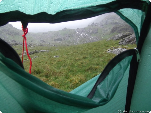
cadair idris camp
And then there was Dawn. We’ve had loads and loads of backpacking trips this year and, this is probably one of the reasons why my wintery TGO Challenge went a lot easier for me than it otherwise might have done. I enjoyed all of the trips with Dawn, some of which were quite tough in a meteorological kind of way. We got well batterred, in fact; several times. Oddly enough, I found this to be mostly quite good fun.
Trips with Dawn:
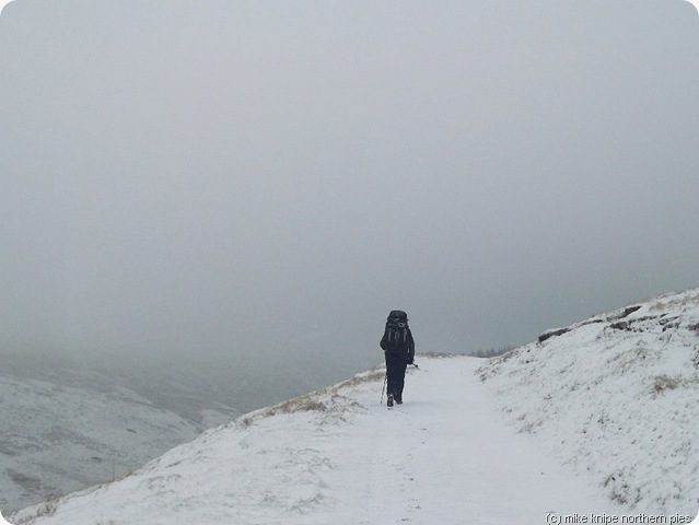
cheviot backpack 018
February: Cheviots – 4 nights camping 1 night in Byrness hostel. This was perishing cold  - no, I mean really really cold - and it snowed and froze…brrrr…
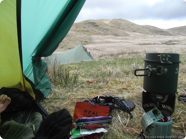
pumlumnon 016
April: Machynlleth to Pumlumnon – 5 nights. This was outrageuously wet. When it stopped raining, it snowed. The word is “sloppy” and we both hate Duke of Edinburgh parties.
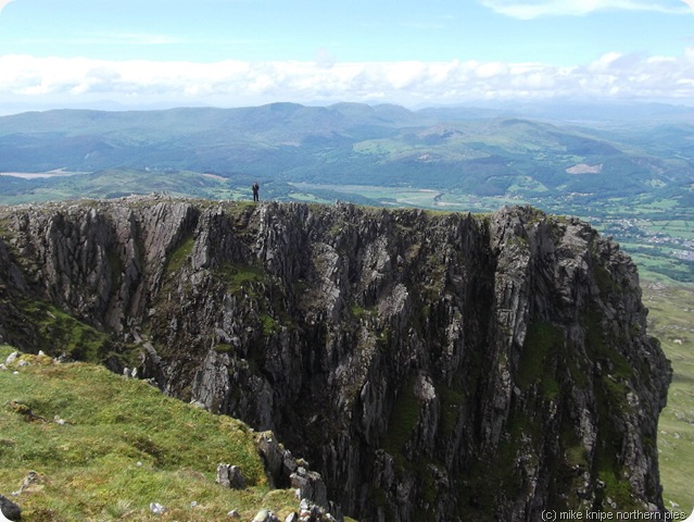
cadair idris 019
June: Cadair Idris  static camp– Joined by Alan – 6 nights. Wet and windy for a few days, then it brightened up! There was a short drought. This wasn;t a lightweight camp, though – we had lots of proper food for this. There were even fresh onions and spuds. We had chips! Nom nom.
wales and wbf 008
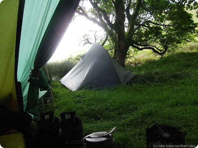
July: Aberystwyth to Machynlleth via Pumlumnon – 4 nights + 1 in a hostel. Mainly  a relaxed static camp in a beautiful spot in Hen Gwm with a bit of light bagging a bit of a more serious walk at the end. It rained. Obviously.
radnor 030
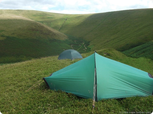
August: Knighton to Dolau – bits of Offa’s Dyke and Radnor Hills. 5 nights. Cracking stuff – the weather behaved reasonably well. Some hard days and some less challenging ones. The akto finally started to fall apart.
south downs way 066
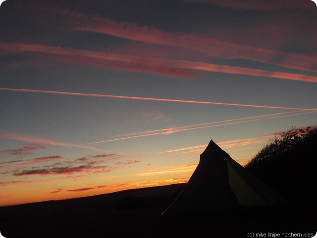
September: South Downs Way 6 nights + 1 in a hostel. Blistering hot. Dry. No, really, it only rained for the last hour…  I think, on balance, that this is probably the highlight of the year for me. Great fun – we got a bit fragged at the end…. 
buttermere 021
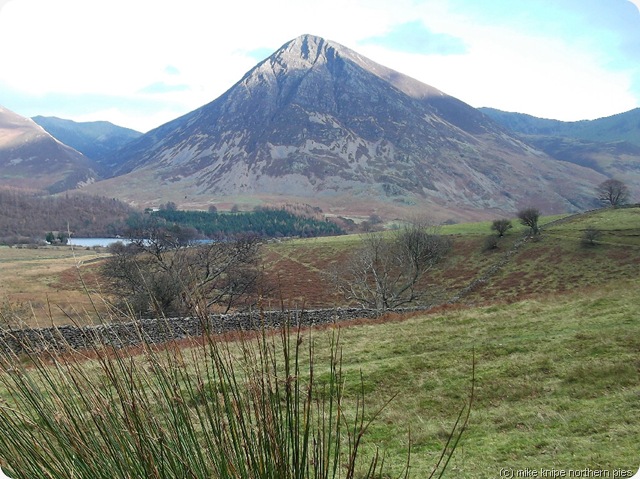
November: A few days in a bunkbarn in Buttermere : getting the post-op foot going a bit. I left me bloody gaiters at Buttermere… dhuhh…
We have more plans for 2013….
burble 1

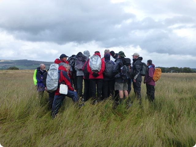
On the Rangering front – I did a bunch of guided walks (see above) plus a couple of stewarding duties and a bit of stile building – and , along with others, got a few naughty landowners to unblock blockages involving barbed wire, mad horses and signs pointing the wrong way… and a few improvements too.. 
So that sort of winds it up for 2012. We’ll see what happens in 2013. I have plans (as you’d expect), but the best laid plans of mice and men etc.. and I have this superstition that if I declare a plan too early, something always goes wrong, so I’m keeping them more closely to my chest. They do, however, involve the TGO challenge and some pre-TGO training/shakedown stuff.
Thursday 27 December 2012

Boxing Day in Wensleydale

addleborough from the newbiggin path

After a bit of a tour of closed County Durham petrol stations, I eventually managed to turn up at  Askrigg parish church where you can park for an honest donation into a broken honesty box. It had money in it, so that just goes to show how honest….

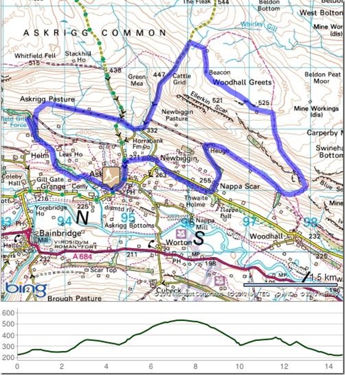
Anyway, the plan was to ramble eastwards for a bit and then go up the hill to bag Woodhall Greets, a heathery bit of grouse moor overlooking Wensleydale and sporting an ancient beacon and bits of grouse-shooting infrastructure. After this, the slightly amended plan (due to wasting time finding petrol) was to have a look at Whitfield Gill Force – mainly for nostalgic reasons in that I once camped here with two Airedale General Hospital student nurses (ah, those were the days…) and I remembered a flat, sylvan pitch at the top of a huge waterfall with a campfire and a warm breeze sifting through the branches…

wensleydale

And so, in me and the dawg heaved our seasonal wobbly fat bellies up the hill out of Askrigg and through the sloppy fields to Newbiggin.  After that, there was a really nice, dry path running parallel to the road along a flat limestone shelf. This gave delightful walking with plenty of sticks for Bruno to run about with and break into lots of little sticks before finding more sticks…..

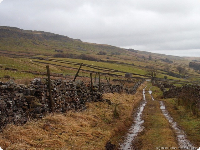
After another heave up the hill, a similarly easy bridleway apparently goes as far as Castle Bolton (hmm.. could be quite a nice walk, that…) – but we only went a mile or so before another pleasant green lane took us up onto the moor.  These tracks are exceptionally pleasant to walk on, I must say – nice, short turf, dry underfoot, cracking views…

woodhall greets beacon

After poking around the “shooting house”, we followed a couple of lines of grouse butts, descended a bit to avoid superdawg impaling his naughty parts on a fence, and then found the beacon – a large and neat cairn and a ruined beacon hut. The summit is somewhere along one of the lines of butts, so I expect that we walked over it…

We descended by the road for ease and speed (started to go dark by this time, even though it was only half one) – to the sounds of battle in the dale below. It sounded as if the local pheasant population was being reduced by the minute.

the lane...

A lane took us towards the head of Whitfield Gill, but got lost in pastures and, eventually, we had to climb a wall to get down to the paths in the gill. These paths were occupied by gangs of ramblers discussing whether or not to “go high”. I’m not entirely sure what they meant by this but me and the dog went low – on disgustingly slutchy paths down into the depths of Whitfield Gill and back up the other side to find the Force. I was disappointed not to be able to take a pic of the waterfall, cos it’s impressive – but it was pretty dark by this time and the path has fallen away at the top so a good view can’t be had. I inspected our camping spot of all those years ago and it was muddy and covered in wet leaves – and a bit tilted, so it didn’t appear attractive at all. And my route down to the plunge pool at the foot of the fall looked stupidly risky. Whitfield Gill, though, would be beautiful in high summer. I should come back then. Today, it was driech and damp and sloppy.

We slithered our way back to Askrigg, finishing in darkness the twelve hour  post-monsoon drought just ending with sleety rain as I let the dog into the knipemobile.

The map shows the planned walk. I did a bit more wandering about than this..  Its about nine miles.

woodhall greets

Monday 24 December 2012

Last Time For Tunstall

towards tunstall again

It’s that time of year when bids and plans are submitted for the Summer 2013 Durham County Council guided walks programme, so I’m currently considering walks for April to September next year.

And, I’ve given instructions that if I mention any walks to Tunstall reservoir, that I must be immediately locked up in a secure institution. I really don’t know what came over me when I was planning these walks last summer, but I seem to have been to Tunstall reservoir from several different directions over the last twelve months – and, I must say, for each guided walk I do the route twice, maybe three times.

big G lights up a hawthorn

The Tunstall sheep and ducks are getting suspicious and so, yesterday, when I lead yet another group of walkers out from Wolsingham towards The Biggest Stile In The World and that notorious puddle at “T”, I was sure that I was getting funny looks from the grazing stock and all those laughing ducks.

The main difference this time was that the sun was shining. OK, it was windy in a howling Wuthering Heights kind of way, but it was sunny. We (nine of us) started with rainbows and ended in bright sunshine.

Not so with the reccy a few days earlier during which me and superdawg got really muddy and a bit wet.

ascending the stile (without oxygen)

The route is an easy one, though, just about seven of your Earth miles and only one, brief steep bit but lots of squishy, sloppy mud – having been the wettest drought since Noah and having consistently persisted since April, except when it all froze up for a week or so early in the month.

st aelric and st godric's well

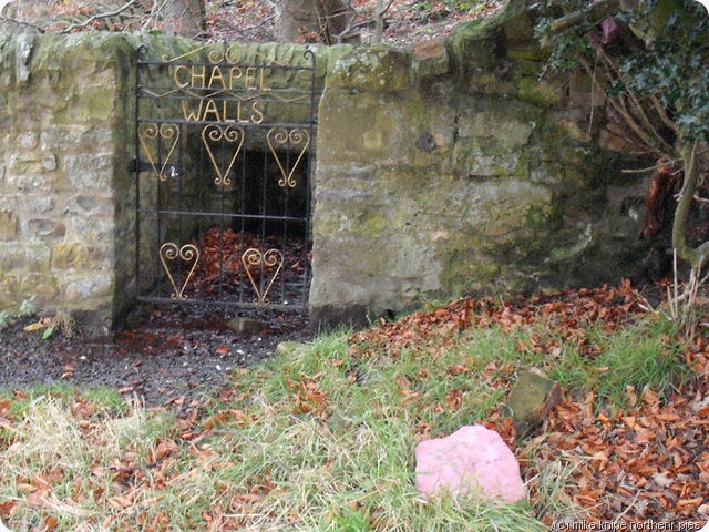
chapel walls well with pink stone

I did notice at Chapel Walls well, just outside Wolsingham, that the two springs (Holy springs?) were marked with pink-painted stones. I wonder what the significance of this is. Anybody know? Is it just another mystery?

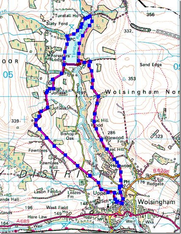
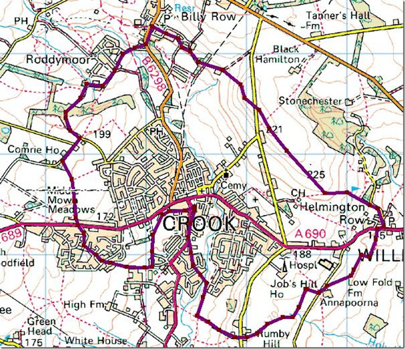
In case anybody is busting to follow this route, there’s a map below. Go either clockwise or anti-clockwise. If you were to start at the reservoir car park, you could have a lunchtime pint in Wolsingham. As for me, I’m not going anywhere near Tunstall for at least another twelve months. I mean, it’s all very pretty etc, but I do need to introduce some new stuff.
rangers eeenie, meanie and miney

My New Year’s resolutions will also include some cutting down (don’t they all – shouldn’t we, perhaps, resolve to do something more often…?) – cutting down on my visits to Bolt’s Law. I’m sure that Durham County paying punters might be relieved about that.

around tunstall


Saturday 22 December 2012

Midwinter Dawn With Prince Caryn


kirkcarrion last winter

Carreg Caryn (aka Kircarrion) is a copse of a hundred or so pine trees in a walled enclosure which has no entrance and sits on top of a small knoll overlooking the junction of Teesdale with Lunedale. The wall was built and trees planted was built on the orders of the bailiff of the Strathmore estate following the enclosure of Crosthwaite common on the 1830’s and it protects the burial place of a long-dead British prince. It’s reputed to be haunted by Prince Caryn, but we don;t believe in such things nowadays but , the landmark is atmospheric and , on a shivery mid-winter morning near the turning of the year, it’s dark and brooding prescence is just the place to witness the dawning of a new, grey morning.

I went there last winter. And I went there this morning.

When I arrived, it was pitch dark but the route to Kirkcarrion from the layby is easy to follow and quick to walk. I entered the sanctum where the wall is falling down and got to the little cairn in the middle. The world was dark and misty with a seeking wind blowing icy rain. I waited in the quiet.

kirkcarrion 2011

As the dawn began to seep into the trees, I could start to make out the shredded nature of the mist. I must have been just below the cloud base and the ragged ends were blowing through the wood, dancing around the trees and rushing on, out over the fell. It was as if the place was full of swishing wraiths , spinning and pausing, and teasing sometimes with outstretched arms. It was quite unnerving and rather than feeling safe inside a sheltered sanctuary, it was beginning to feel more like a trap. The sky lightened a bit more.

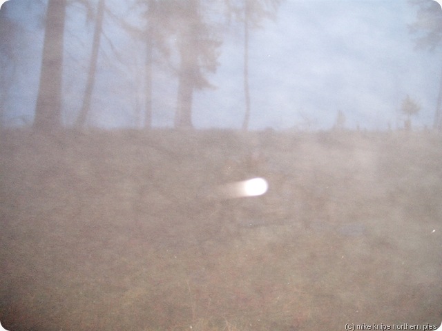
I decided to see if I could get a picture. Several attempts failed to get anything much on the camera’s screen.  I was starting to get so twitchy about the place that I could imagine dark shapes moving at the edge of my vision. A crow, maybe. My attention was being drawn to things that weren’t there. 

I got a very poor picture of the cairn in the middle of the wood. But it was dark and misty and….  there’s a light on it, moving from left to right at some speed….

kirkcarrion 001

Very odd.

As my watch said that the sun had now risen, it was time to go. I’ve left the place to it’s spirits. You can go there if you want.

Brrrrr…….

I mean ter say, it wouldn’t be Christmas without a spooky tale, now would it? Mwwwahahaha!!


Wednesday 19 December 2012

Christmas Time Is here Again Och Aye The Noo

I've been resisting putting a Christmas video on the blog - but I give up...

Laydeez and Jennelmen - The Beatles.

Hands up all those who've heard this before

I love carpets Christmas, me.


Monday 17 December 2012

Skiddaw and Cockup with an A-Z atlas and a Brown Dog

skiddaw via randel crag
Yesterday (Sunday) was the day for killing several birds with one stone, the bird, figuratively speaking, being a bit of a walk.
Stone #1 was the field testing of the A-Z adventure atlas of the Northern Fells so I can write about it.
Stone #2 Was the bagging of the fabulously craggy and awesomely remote Birkett called “Cockup” which rises magnificently in a series of sweeping, rocky terraces from the Northern flanks of Skiddaw, dangerously defended by Cumbria’s only glacier “T’ Mere de Herdwick” and which has resisted the Knipe ticking pencil for over forty years. Actually, very little of the above is true, but otherwise, why call it “cockup”. In practise it’s a grassy and slightly sloppy abscess-shaped heave on a grassy fellside. It does have a grid reference for it’s summit, which is one reason why it was quite good for testing the atlas. And it’s a bit obscure, whihc is another reason.
Stone #3 Was my desperate need to control my burgeoning wobbly  winter belly with some exercise. There’s obviously some kind of technical problem with the scales, but just in case, a few calories expended up Skiddaw would be just the thing.
bruno
Stone #4 was the attack of cabin fever demonstrated by Bruno’s obsession with chewing my leg and growling whilst pointing to a map of Skiddaw. Something Had To Be Done.. so
About ten o’clock on Sunday morning I parked the knipemobile in a pull-off on the minor road to Orvillethwaite (or somewhere….)
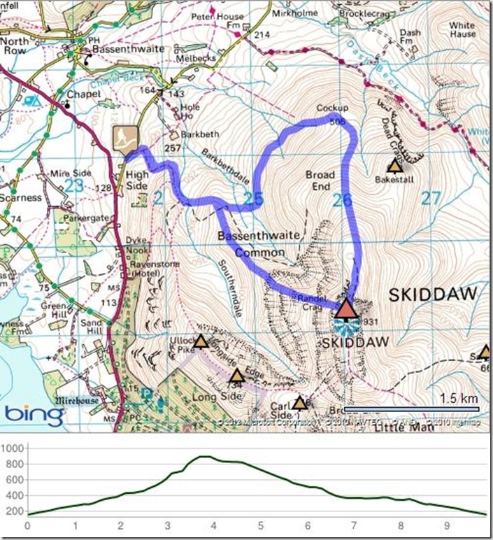
I folded the atlas so that it showed Skiddaw AND Cockup and typed in the co-ordinates of Cockup into my GPS from the index in the atlas with all the grid references. This was to see how accurate the grid references were.
skiddaw 012
And we set off up the bridleway which marks one of the starts to the Ullock Pike/Carlside route up Skiddaw. We didn’t go that way, though, but crossed the little beck by the rather nice camping spot in the old sheepfolds (note for later…) and headed for a string of Knotts – Little, Great and Buzzard and, eventually to the flat top of Randel Crag where we crossed into the hillfog zone. Here, it started raining.
driech top of skiddaw
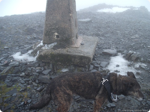
We lurched ever upwards, hitting some very slippery scree and soft snow which, as we got higher, became hard, icy snow. As it was much easier to kick up the snow rather than slither about on the scree, I put me new Khatoola spikey things on and kicked off up the steep snow, arriving on the foggy and sleety top of Skiddaw absolutely hours and hours later.
The top of Skiddaw was not place to be sitting around so I consulted the map, tore a hole in the relevant page (put it in a map case next time!) and determined that the crucial attack point for Cockup and the use of the GPS would be a significant turn in a fence on the path down to Bakestall. As it was snowy and a bit icy, I wore the spikes again for this bit.
descending to cockup
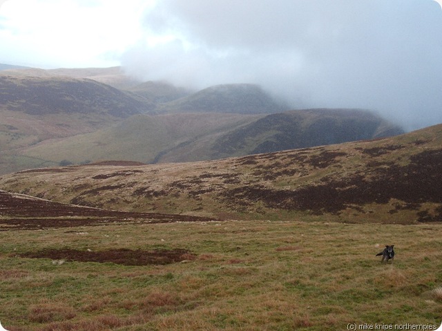
At the fence corner, I switched on the GPS, selected “Cockup” from the list of waypoints (doesn’t seem like a good idea at first glance, does it?) and headed off downhill, emerging from the fog a few minutes later to see the festering lump of squishy grass below me. The GPS grid reference was as accurate as you could wish for and was very close to the little cairn that marks the summit.
bruno unimpressed by cockup cairn
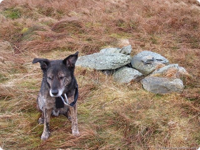
I got the impression that Bruno, who had been enjoying eating snow and running about daft up Skiddaw was less than impressed by Cockup.
We left and followed a path along the intake wall back to the sheepfold with the lovely camping spot. We were back at the car by half two.
verdict on the A-Z adventure atlas – it was easy enough to use, much lighter than the OS maps and it fits into the front pocket of a buffalo jacket . The grid reference taken from the index, of a pretty obscure sort of place, was accurate and my view is that this index is one of the real strengths of these maps. I was a bit miffed to have torn the page. Nevertheless, I’ll be buying some more of these atlases.
They’re still on offer for £5.45 – a 31% discount on the normal price by inputting the discount code TRMK250 into the A-Z cart. The offer ends on 31 December 2012. There’s a direct link to AZ’s website here:AZ Mapping Co

We did six miles and 2800 heaving feet of slippery upness.. Cockup was my 490th Birkett.
skiddaw

Thursday 13 December 2012

Shudder Been Up There

cross fell range

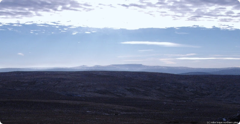
This is a shot of a snow-covered Cross Fell and the Dun Fells, bathed in perishingly cold sunshine. (It was minus four on the tops and a bit colder just after the sun set.)

Dammit.

Instead, today I battled the frozen bogs of Pike Rigg with Brian. We didn’t go there on a whim and I would say that if anybody is considering a visit to this particular forsaken spot then the very best time to go is when it’s frozen hard, just like it was today. Otherwise, you’re going to get wet. Very wet.

Possibly more about Pike Rigg at a later date.

There’s been a bit of a hiatus in outdoor activity for a week or so, partly due to some Christmas stuff (trees, Robin Hood meets Babes in the Wood panto, lights, prezzies, drinking practise…) and partly due to an attack of lassitude of a specially sleepy nature which involved  using a warm dog as a hot water bottle.

But I’m back now. 

Here’s a pic of Brian heading back over the (usually) quaking morass…

pike rigg bog


Friday 7 December 2012

TGO Challenge It’s All In The Mind


d2 glen affric 1
It may be possible, of course, that many blog readers who aren’t already booked onto the 2013 TGO challenge will, by now, be heartily sick of blog posters who have places or who are high up on the standby list. What with all their gear talk and everything, I can see that this could well be the cause of many an eye to glaze over a bit.
But it’s not about gear and how light you can get your toothbrush or your tent pegs, or stakes or whatever you want to call them– it is, in fact, all in the mind. If it isn’t within your constitution to ignore the snow and the wind and the rain and the heat and the regular alcohol overdoses, then no matter what state your feet are in, you won’t make it to the other side.
aa day 3 camp
You have to relax. You have to leave your watch at home. You have to forget the pounding forwards damply day after day and learn to sit and have a brew and watch the world go by. Only by this mental model will you arrive in a happy state at the other side. Forget the route. Forget the hill ticks and the miles to be covered each day. This is the way to failure. Ignore the driving snow and the contour count and have a lie-in if the drizzle is sizzling on your flysheet. Whatever it is you wanted to do can be done later, or changed, or cancelled or, in other words, managed.
The wildness doesn’t rush. The wildness has a slow and relaxed rhythm. You will get there. don’t worry about it. Don’t worry about being behind the herd. They’re going too fast. They will hurt and some will fail. Get some scoff inside you and melt into the way of the hills. It won’t necessarily be easy, but you can battle on and soak up the hardnesses and the pains in the toes.
day 4 loch lundie
Me and Dawn are going to have another crack at the TGO next May. We have a route up for vetting. We even have beds booked in some places. We have a plan. I expect that the plan wont stand up to reality in the end, but trying to bend reality to a plan made six months in advance is the road to oblivion. That’s what happens.
Actually, out of eleven previous TGO Challenges, this will be the first one I haven’t done solo or with one of my easily-controlled children.
So, we may, or may not arrive at the other side. If we worry about it too much, we’ll likely fail. Actually, Dawn has much more experience of backpacking in Scotland than me and our early morning body clocks are more-or-less in tune, which is a major consideration, so I’m optimistic, nay, expectant.
But I bet you forty pence, a bag of crisps (salt and vinegar) and a night out with either Kylie Minogue or Clint Eastwood (as was) that we’ll be in Montrose without too  much damage at the end.
Or possibly not.

Thursday 6 December 2012

Advent Adventure – Jaunting Around Crook

stile on dowfold hill

Advent Adventure is the fairly naff name I gave to a Durham County Council guided walk which circumnavigates Crook. The idea is to start off Christmas with a nice walk and end the jaunt with hot coffee and festive pies in St Catherine’s Community Centre, thereby contributing to the Centre’s funds ( a bit) and, generally, having a bit of a jolly, or, more appropriately, perhaps, a Merry for ‘tis the season, innit?  We did it last year, so we did it again this year.

superdawg in a big, big field

I did the reccy last week in sunshine but with horrendously sloppy conditions underfoot. Bruno the superdawg came with me and, as there’s very little in the way of stock on this route – apart from one field of sheep in the early throws of pregnancy (morning sickness – baaa  .. blech…) he was off the lead and bouncing around just like a twelve year old dog doesn’t.

The reccy was incident-free, apart from the mud.

just above crook

On the day, eleven people turned up, including a local and his wee doggy, and, including me and the two stewardsEric and David ( a completely different Dave to all the previous Daves mentioned recently). The conditions were sub-zero in a very arctic kind of way and the paths and so on were frozen hard and very slippery. We slithered around the course without any accidents or much in the way of excitements.

We lunched on Billy Row green where there are seats to sit on and, often, a sunny, sheltered spot from any searching North-easterly breeze.

advent adventure reccy 004

It was here that our local described how he used to play footie on the green (it’s a bit tilted) and used the war memorial to bounce the ball off.  He also had personal family knowledge of the local pits and now defunct and disappeared industry, so he was useful too.
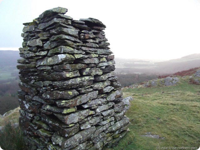
We heaved ourselves up Dowfold Hill, through the newly waymarked golf course (we’re very proud!) and over the frozen newly cropped fields to Helmington Row and on through the land mentioned fairly recently in a blog post as being barricaded off by the landowner – now with new stiles and then….  a chap was seen to be performing some kind of pirhouette on a wooden bridge and, arms waving and uttering a cry of disbelief, he disappeared into the five foot deep ditch (luckily frozen and not filled with wet water), legs and feet waving uselessly in the air.

advent adventure reccy 005 

Various people extracted him from his hole and he was noted to have a small hole in the skin next to his ear and a grazed wrist , but otherwise cheerful and ambulant and happy to go on. So we went on. There’s an accident report……..  

We finished, in a snow shower,  as planned in St Cath’s with various pies and toasties and hot drinks.

It was just short of eight miles.

We might put a handrail and some wire netting on the bridge.

advent walk


Wednesday 5 December 2012

Newton Fell to Cartmel Fell Damply - Wainwright Outlier Bagging

manfully and dogfully up saskells


At some point in the year, I realised that I only had about eighteen fells in Alf (come sit on me knee, pet) Wainwright’s guide to the Outlying Fells of Lakeland and I decided to do something very passive about it – this being the handing over of walk design and leadership to the bro…

And so, me and  the dawg the bro and his walking pal Ria  parked on a very old and unused bit of the old main road between Kendal and Barrow and lurched off in a heavy rainshower up the brackeny slopes of Newton fell (North) aka Saskells. 

newton fell 003

The forecast was for occasional  rain showers and, luckily, we only had two during the whole day. The first one lasted three hours and the second for an hour and a half. During the dry half an hour, nothing dried out.
top of staveley fell

Anyway, the first top, Newton Fell (North) which probably has a really nice view and certainly has some kind of electronic thingy on the top fell fairly easily and we retraced over a subsidiary top and then into the woods for Staveley Fell. his, we made more difficult by using a vague track through forestry from the forestry road. The summit is rough and heathery and has a grand view of the Southern end of Windermere.

newton fell 005

More damp wanderings followed and, eventually, we arrived on Cartmel Fell which also probably has a nice view and certainly has a big, square cairn or “monument” on the top from which vantage the Very Fine View can probably be inspected whilst lolling in the sunshine scoffing a cheese and tomato butty. Today’s conditions were unsuitable for such luxury, however , as the bread would have got all soggy and the loller would have lolled himself into hypothermia. So we left.

through the woods damply

Our return journey was through more nice woodland and through new nature reserves on Simpson Ground Allotment and, ultimately, back to the start.

The return journey over the A66 in a blizzard was interesting.

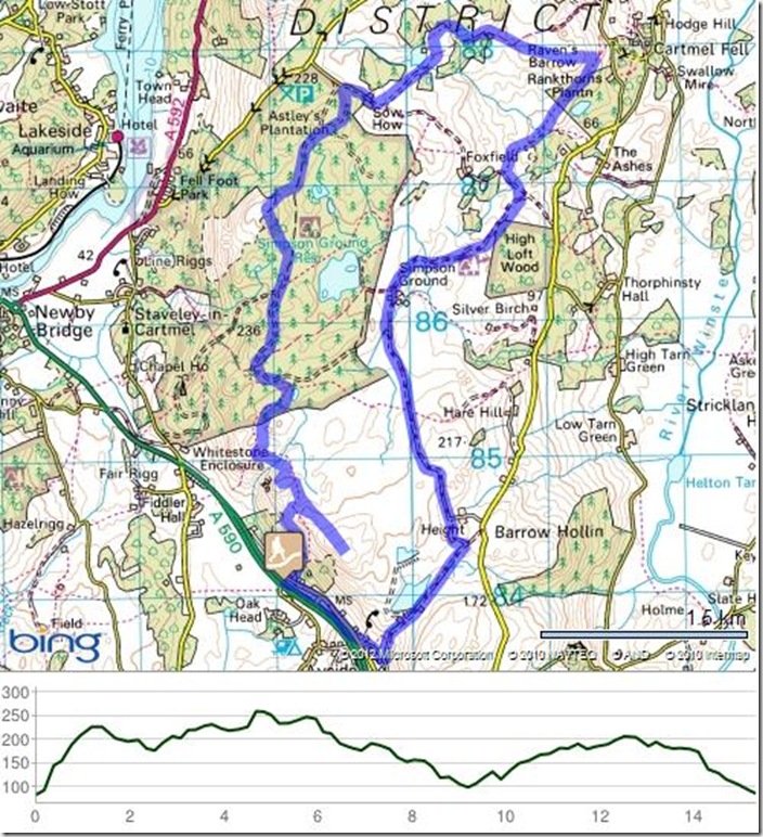
We did nine and a bit miles and 1700 feet of up.  Here’s a map for the interested.

newton fell