statcounter

Thursday 29 January 2015

Wednesday Walkers Walk Crow Coal Hill

robscrow6
robscrow5
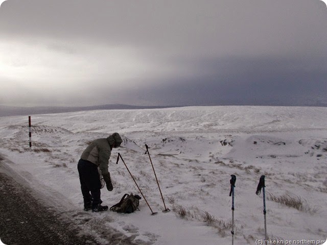
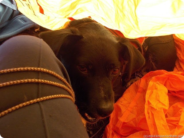
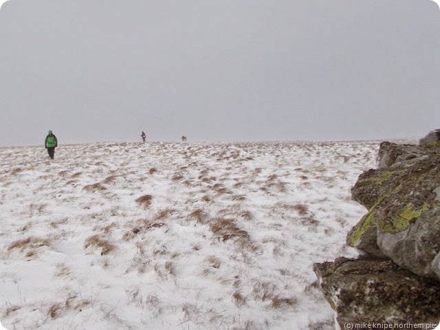
Me and Lucky did the reccy for this on Sunday on a day of melting snow with lots of old ice about. It was, in the vernacular of Look North News “nithering”. We weren’t bothered, though cos we wuz well wrapped up and quite toasty in our fourteen layers of thermal polypropylene…  Lucky only had two on, though, now I think on….
crow coal reccy 011
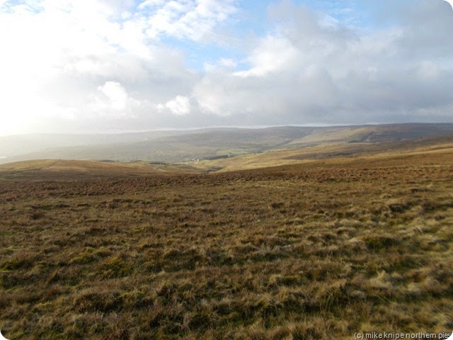
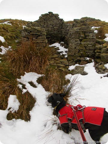
Anyway, its a good job we did a reccy because we found one particular bit of level track walking to be dull dull dull and the shooting box I’d planned to use as a lunch  er..box… was occupied. I have no idea who was inside, but there was smoke coming from the chimney and the place had been seriously done up since I was last there – probably twenty years ago..  so I though we wouldn’t go that way.
crow coal reccy 017
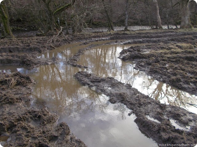
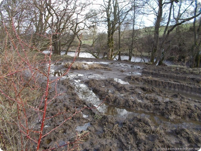
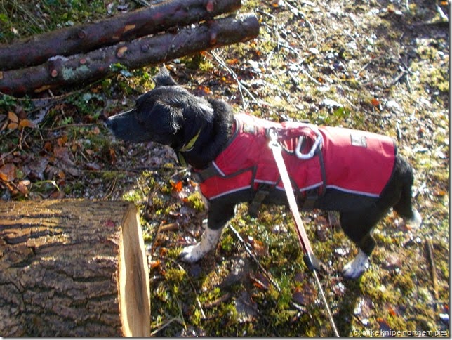
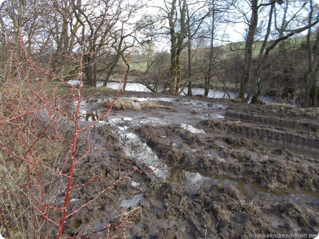
Next was the riverside footpath between Eastgate and Stanhope – The Weardale Way. This started off badly at a gate which was effectively defended by some very deep-looking cowshit. Lucky refused to enter and I had to climb onto the fence whilst transporting a reluctant dog by the handle on his harness – an acrobatic feat of some skill considering that a) he was wriggling a lot and b) despite his small size he weighs 15kg. My big pack only weighs 12 kg…
Anyway, we progressed over lumpy mud – there being no remaining grass from now on. Then we hit the mud, slurry, or sludge. Deep stuff. Fearful stuff. is there such a thing as an arctic alligator…?  The only thing to do was to bypass – and so we crossed onto the railway line and passed two dozen cows, up to their armpits in the stuff and, going “Ooh look a dog….” at the same time. We did a couple of hundred metres on the train track before a gate let us back onto the “path”. We wouldn’t be going that way either.
eas beag - stanhope dene
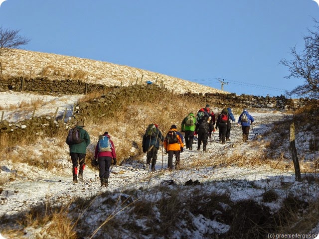
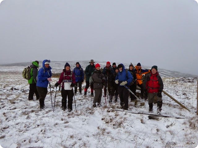
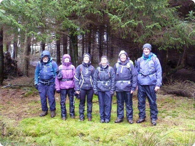
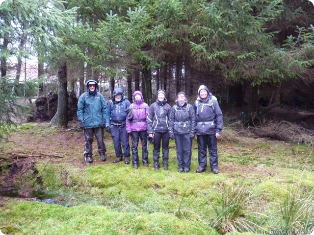
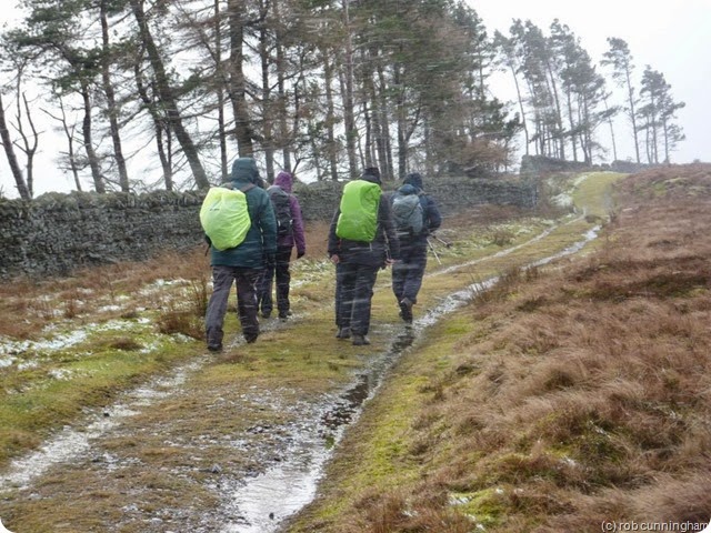
On the day, there was heavy rain and a pessimistic weather forecast involving blizzards, lightening, road travel disruption,  three of the four horsemen of the apocalypse and the release of a new Gary Glitter single, so I left the dog snoozing at home and arrived along with eight other idiots walkers, two of whom saw sense and went off to find a cake shop. So seven of us set off on my newly redesigned and revised, not to say, shortened route.
robscrow2
It went well. The rain stopped and the sun came out. And, as we turned to find the attack-point (navigational term) for our hill, a howling blizzard began. We sought shelter and an early lunch inside a dark wood. Dark, shapeless figures stalked all around, sensed but unseen in the hidden shadows beneath the waving branches of sitka as we ate our beef and onion butties and munched healthily and a bit self-consciously on one of our five-a-day fruits and a bit of Spanish lettuce.. Was it just the wind moaning in the trees or the tormented spirit of some lost soul shivering their last on some foul winter’s night?
No. Don’t be daft.
robscrow9
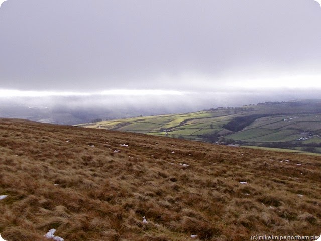
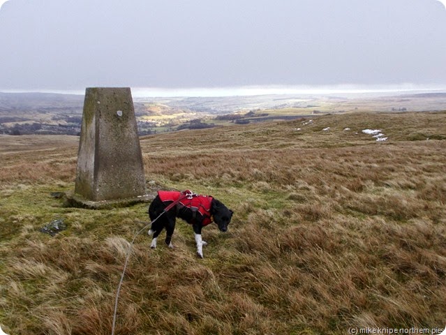
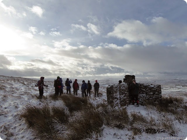
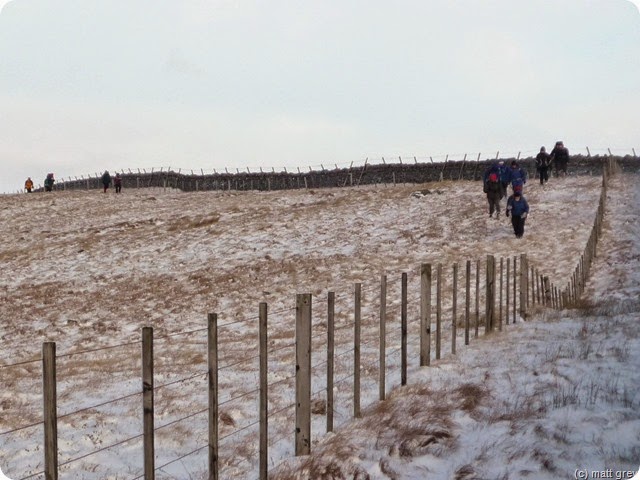
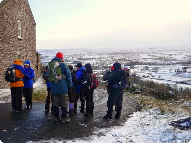
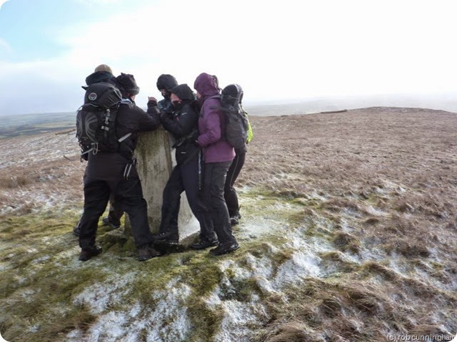
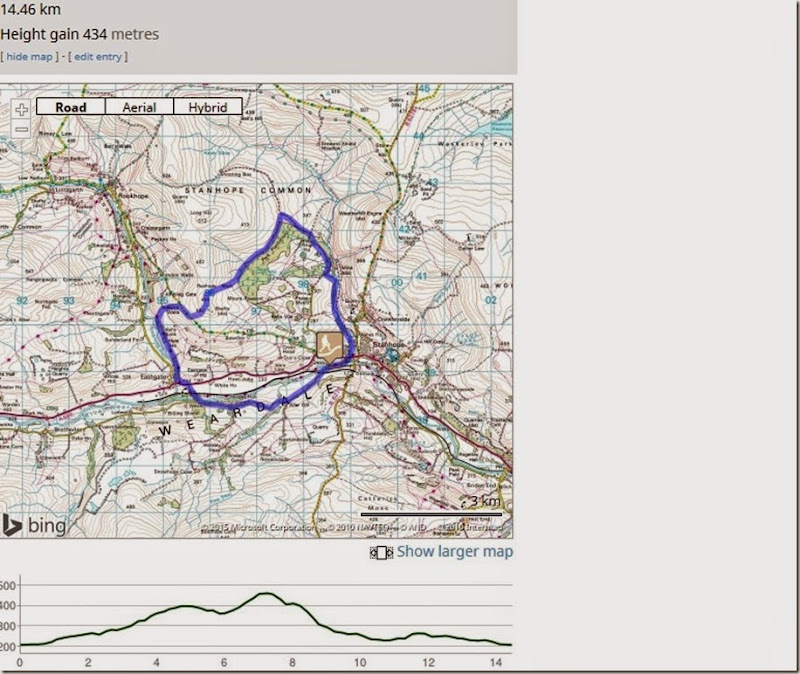
After lunch, the sun had come out again so we followed the forest edge a bit more till we came to Isaac Sike – a small stream which , if handrailed (more navigation talk here..) would lead us to the wide ridge just a bit to the right of Crow Coal Hill’s trig point. I have to say that it was quite windy at this point, but Isaac Sike was designed to keep us from the gusty worst till the very last ten minutes – which it did, in fact. The very last ten minutes were quite exciting, though, and people were seen to be almost blown away. Doggy poo bags were ripped from rucksack pockets and the only thing to hang on to was the trig point itself.We descended breezily towards Eastgate and the relative tropicality of Upper Weardale.We didn't take Cow Poo Trail, but opted instead for a drier walk along a back road.

It was 9 miles. It was supposed to be a bit longer, but the ridge would have been stupidly hard work.
Lucky was still asleep when I got home.
Several pics by Rob Cunningham. Cos they’re better than mine. Thanks Rob…
crowcoal hill

Monday 26 January 2015

There May be (Slutchy) Trouble Ahead….

slutch

On Wednesday, blizzards permitting, I’ll be leading the Wednesday Walkers, or as many as turn up, on a little trundle around Crow Coal Hill.

Me and Lucky did  a reccy of the route a day or two ago and found slutch. Lots of slutch. Slutch is a Lancashire word for the particular mix of water, soil , and, in this case, cow poo, which makes the particular sound which sounds like “Slutch” when you pull your foot out of it. (Note carefully that I used the word “foot” here since the continued attachment of footwear to the foot after immersion in slutch is not necessarily guaranteed where slutch is concerned. Indeed, the foot may well be sripped to the skin, although the slutch itself could have certain beneficial properties providing you don’t drink any of it.) It may also refer to the sound made when you put your foot in it, too.

more slutch

This slutch was deep slutch too. Too deep for the diminutive Lucky.

Its on the Weardale Way between Eastgate and Stanhope – a normally benign and quite pretty ramble when the river’s not in flood, in which case it gets a bit desperate. The cows who are contributing to the amount of slutch are still present, but the farmer, who’s tractor has deepened the slutch into a brown moat, probably full of all kinds of horrors, including the bloated cadavers of missing members of the Crook and Weardale Ramblers and their bobble hats, cheese butties and walking poles was absent.

We won’t be going this way incidentally, since me and he dog had to trespass onto the nearby railway to bypass the slutch and the cows. This wasn’t too bad because the railway hasn’t seen a train for years and years and years…..

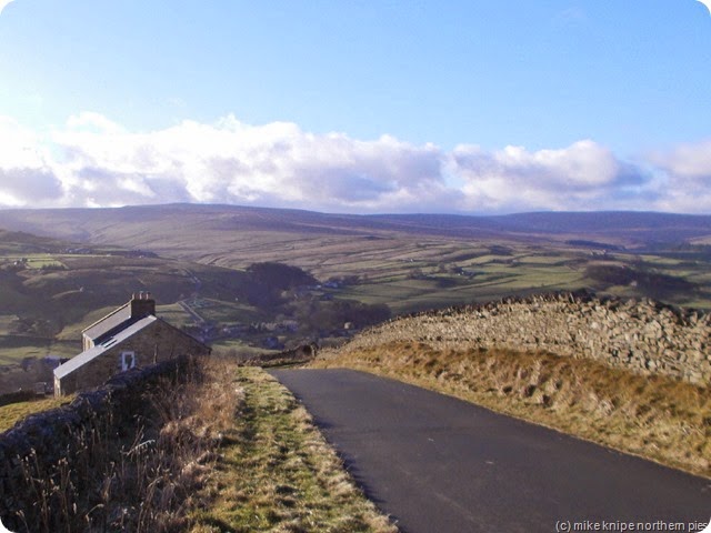
Here’s a nicer bit of the Crow Coal Hill route, though….

crow coal reccy 013

crow coalhill summit

Slutch – I want you to practise saying this at every appropriate opportunity – just to enhance your vocabulary. You may apply it to sloppy mud, the horrid contents of a nappy or to badly made gravy. Use your imagination.

Slutch, that’s onomatopoeia, that is.   We know a song about that.

Saturday 24 January 2015

Camping with JJ, Dawn and Lucky in Borrowdale

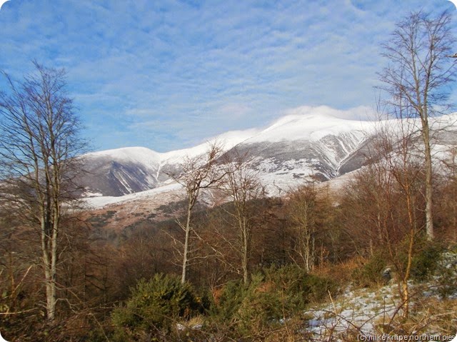
skiddaw with sow on it, innit?

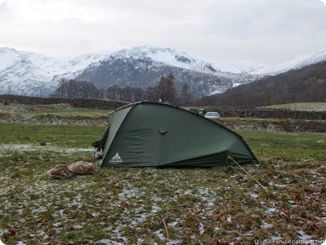
When I arrived with Dawn and The Pooch, the weather was calm and icy, so I put up The New Tent (Did I mention that I’ve got a new tent by the way…?) facing in roughly the direction of the rising sun.  This seemed like A Good Idea at the time.

JJ arrived soon afterwards and erected his caravan in the car park, so we all went and had our tea. The consisted of some chicken and a lot of chips.  No, I mean a lot of chips. More chips than you could estimate a lot of chips to be, in fact. there is now a chip supply problem in parts of Cheshire, apparently.

nearing the top of high doak

towards castle crag

castle crag

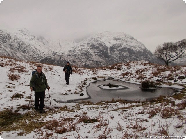
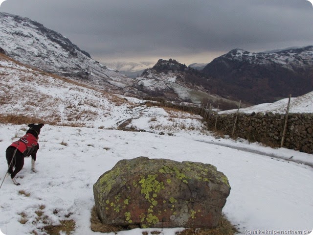
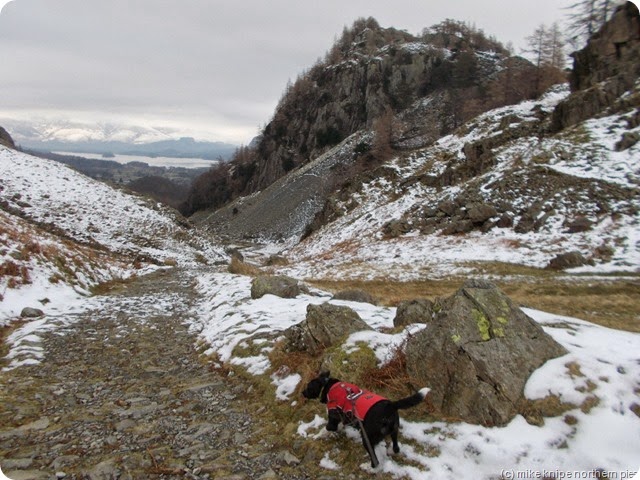
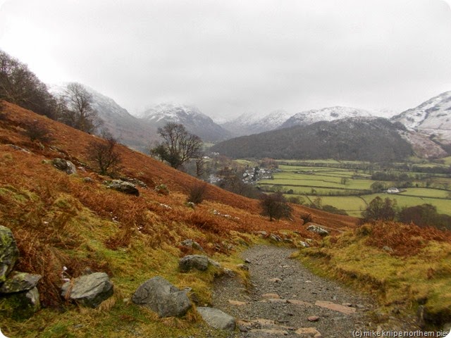
So, in the morning, which was grey and cold and windy and snowy and icy, and full of chips, we went for a liddle wander up High Doak, a 381 metre TuMP what nobody has ever heard of. This was followed by a ramble on the Allerdale Ramble, just past Castle Crag, and back to the Scafell Hotel for beer and nuts by the deft use of the Cumbria Way in a Southerly direction.

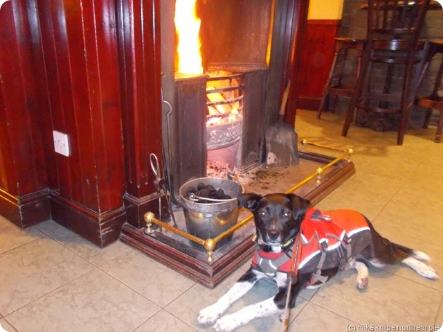
...roaring fire...

We noted  for reasons of future post-walk rehydration and warming, that the Scafell Hotel had a huge roaring fire, ideal for the thawing out asmall black dog and a suitable supply of Tirrell Bitter, or whatever they called it, for the rehydration of thirsty ramblers and that this was a very useful combination of attributes.

We repaired once again to JJ’s caravan for pie and peas and chips and Christmas pudding.

dawn and skiddaw

derwent water

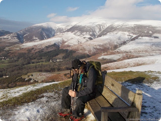
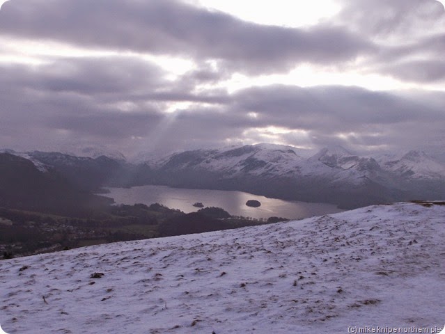
Next, JJ needed washing up liquid as Lucky couldn’t manage to clean the grease off all those chippy plates and this was followed by a brief expedition or excursion up Latrigg. This was very nice and the sun shone and the views of Skiddaw and Loch Derwent were quite, quite fab.

After a compulsory visit to view the large roaring fire at the Scafell Hotel and to meet Spot the Dog (worra soft git is Spot the Dog), we repaired once again to JJ’s caravan for sausages beans and chips and Christmas Pudding..or was it lemon drizzle Cake..? Anyway, whatever it was, it was very filling.

And in the night it blew a hoolie and removed the door from my new tent just as I’d got myself a lovely cup of hot coffee.

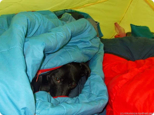
theres only a nose in this bag

Lucky, though, having buried himself under a sleeping bag, failed to notice the sudden gale re-arranging my gear inside The New Tent and continued to snore whilst , no doubt dreaming of his sunny homeland back in Limerick.

In the morning it was yet still blowing a hoolie, but now it was also drizzling quite a bit – just as JJ departed for the sunny South and his replacement, The Bro, insisted on a nice walk up Ether Knott. This was to be easy and soon dealt with and we would hardly notice it and certainly not get damp at all.

driech borrowdale

So we heaved our tired legs up the steep and stony path towards Watendlath and over the thawing snow and ankle-trapping heathery stuff high up onto the knobble that is Ether Knott – a sub-HuMP, I’ll have you know.

After lunch behind a sheltering wall, we descended via various sudden beetling drops and with a bit of gluteus-maxima slithering, eventually fetched up on the path to Shepherds Crag. We sploshed our way back to the Scafell Hotel….  I got wet. Lucky got wet. The Bro got damp, JJ got home.

And that was it.  Today, I took Dawn back to the station via the Chatterbox cafe and went home to dry off.

new tent

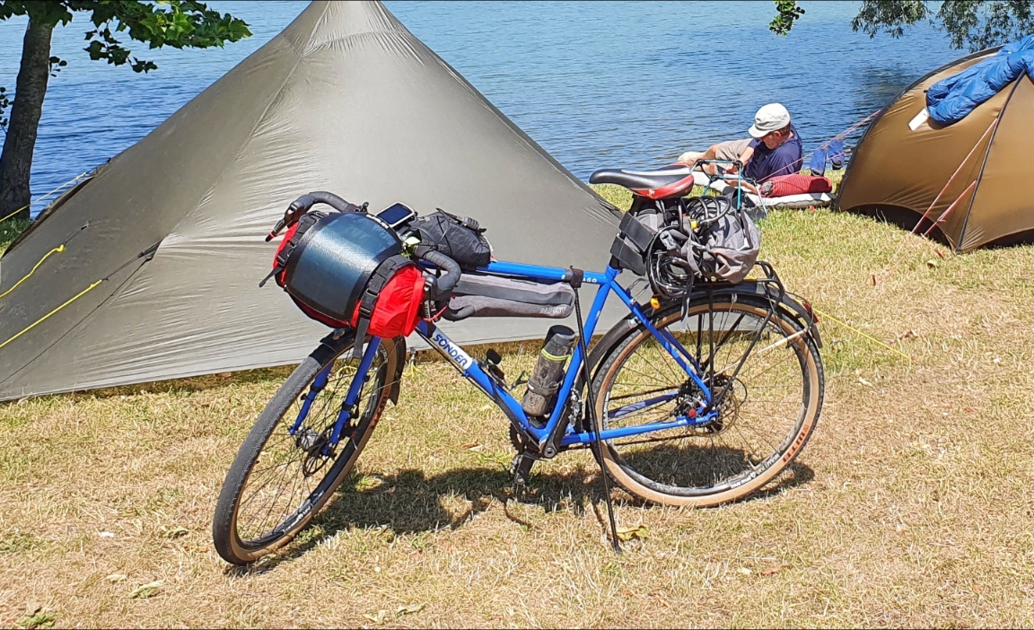
The tent done well – once the wind comes from the correct direction and not directly at the door, it stands up well to a buffeting and it’s very waterproof, which is just as well, really. For camping gear enthusiasts, it’s a Vaude Terratrio 3P – mainly for just me and the dog and a huge supply of scoff and booze.

All three walks added together came to 20 miles and 4700 feet of up.

Obviously, this trip failed to live up to the Linney/Knipe expedition record for dramatic and probably quite dangerous weather conditions. It’s probably lulling us into a false sense of security.  I’m not worried, though.

every cloud...

Monday 19 January 2015

Nithering Noon Hill on Tennis Rackets

P1030594

I was going to go off and bag a couple of Co Durham TuMPs over by Barnard Castle and Bowes, but I got a better offer. The TuMPs will still be there next week..or the week after, infact, but the snow may melt, so I found myself parking the knipemobile outside Wearhead village hall and wandering up the slippery hill to Matt’s Mountain Hideaway.

snowshoing 1 005

I did offer to take Lucky The Dog, but he took one look outside and went back to bed. He’s not the best motivated dog in the morning and, in fact, won’t talk to anybody till he’s had at least three Benson and Hedges and a litre of strong Bolivian free trade filter coffee with lots and lots of sugar and a bonio soaked in a drop of Islay malt…  So I left him snoring.
P1030585

snowshoing 1 012

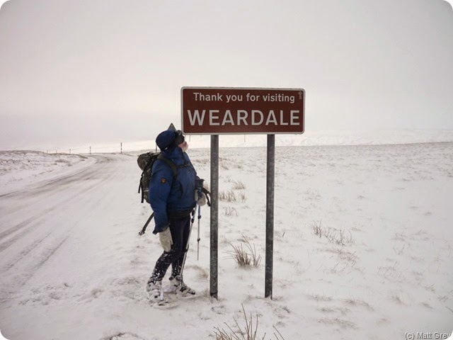
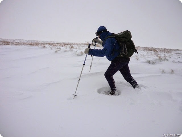
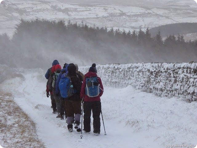
We set off up the lane towards the tundra-like wastes of Noon Hill wearing snowshoes. The snow was deep and soft and the wind whipped around the lank grasses but went straight through my windproofs. But we made good progress and were soon wandering across the 630 metre summit expecting the Langdon Beck road to appear at any minute, which it refused to do for a quarter of an hour.

P1030597

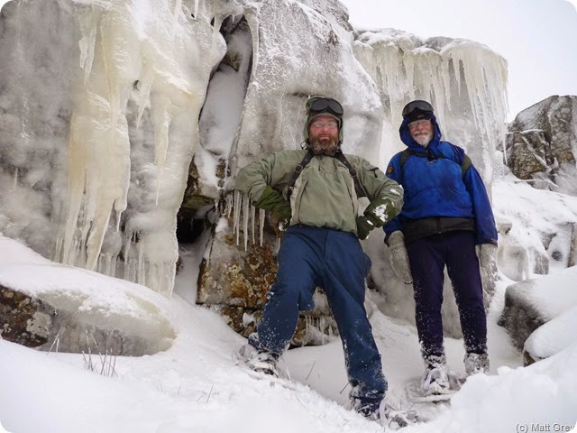
The ganister quarry on the top looked inhospitable, but we soon found a calm spot in a quarry a couple of hundred metres down the Teesdale side. This held some deeper snow and a quarry face liberally and dramatically decorated with a generous coating of ice from water leached off the soggy moor and frozen.

After lunch we decided to follow the road back down to Weardale since the alternative would be hard work over snow with a freezing headwind.

snowshoing 1 013

P1030606

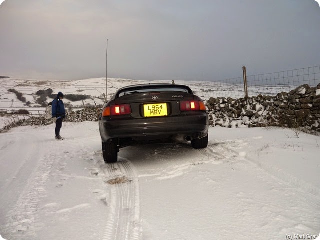
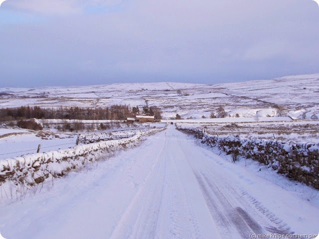
The road was well frozen and had seen little traffic. Four off-roaders came up the hill confidently and marks in the snow showed where people had had exciting moments…  A suzuki Swift did come gingerly  down the hill , followed by an urban 4X4 – and somebody had been sledging and/or snowboarding.  A car near the foot of the road was parked with the front nearside wheel in a hole and the rear offside wheel a couple of inches in the air…

snowshoing 1 014

Back at Das Bergversteck, we were warmed by toasties and toasted hot cross buns.

We probably did seven miles…


Sunday 18 January 2015

Wandering Around Warton

warton 007

Way back in the 1980’s when men were men and pub food came in a basket, we travelled from far-off Bradford to a small car park in a quarry where you could park your car and get on to the crag without touching the ground.

warton 002

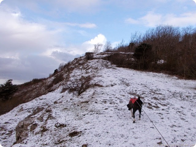
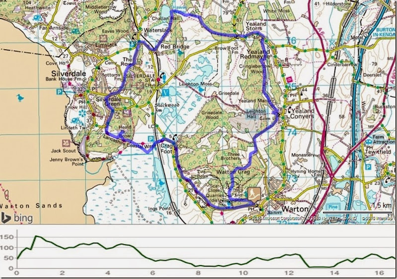
And so, on Friday, I parked the knipemobile in the very same quarry at the village of Warton in the bit of Lancashire that pretends to be Cumbria, and me and the Bro and the Pooch set off through terraces of little crags for the bagging of Warton Crag, a 163 metre HuMP somewhere up there ….  The challenge was to get to the top using only the unmapped footpaths through the rocky bits. One path was clear on the ground but was overgrown with small bushes, all of which carried a generous sprinkling of very wet snow, so that anybody who went first (me) got really wet.

warton 006

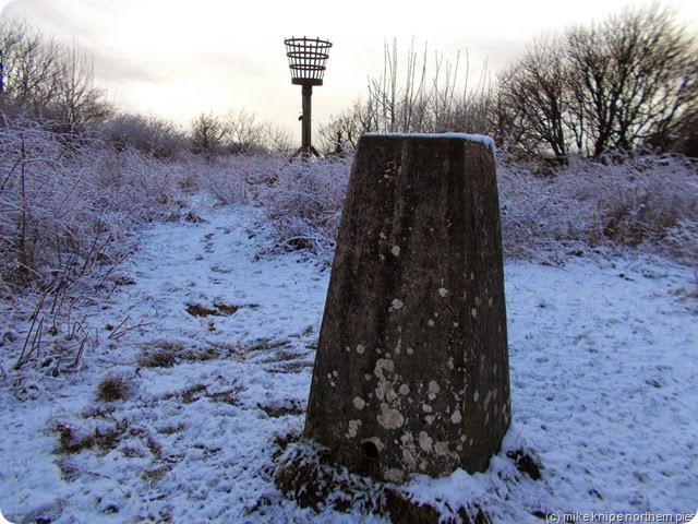
But we found the top which, for anybody wishing to confirm they’ve arrived, has a beacon on a tall pole (or it may be for a large flower display, I suppose) and a trig point. There’s probably easier routes to the top but only those who are local and know where the unmapped paths are will take these courses.

warton 005

We ventured Northish to find a bridleway which would lead us to the road which in turn would lead us to Objective #2 – the diminutive TuMP Summerhouse Hill. This was found to be some kind of cairn or ex-plinth, (or maybe the ruins of  a summerhouse perhaps)sitting on the top of a huge pile of sheep-poo/mud conglomerate. At this point it began to snow quite heavily. We progressed. The mud was not as frozen as it should be considering I’d brought khatooola spikey things. In fact, it was just mud.

warton 009

Objective #3 was to be Cringlebarrow Hill – deep in the woods to the North and quite hard to get at – being defended by a mossy wall – or maybe a crag…. ?  After this, we got a bit lost and so had lunch. The sun had come out by this time. Lucky refused dog food/dog biccies etc but enjoyed some cheese.

We pressed on to Yealand Storrs and altered the route slightly to include Haweswater. Not that Haweswater, a different Haweswater. This was very nice. If muddy.

warton 010


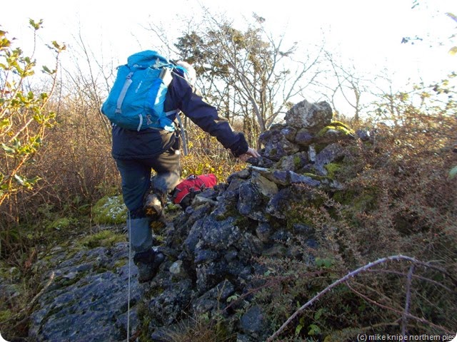
We changed direction – now heading for Silverdale – but first the paths to Bottoms farm. (snigger….  Bottoms…..) And then by various devious but muddy paths and streets, we attacked objective #4 Heald Brow. Despite the fact that this had extra paths not marked on the maps and some grazing cattle who studiously ignored the dog, we found the top easily in some brambles.

warton 014

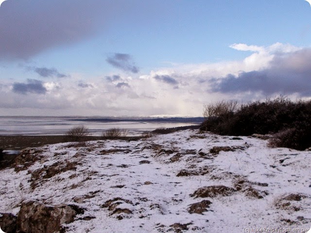
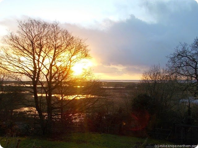
And to finish off, we descended muddily to a path along a sea defence thingy and then a long bit of road called “The Lancashire Coastal Path” where the sun set on Morecambe Bay and the car was still where we left it.

It was ten miles. Nice walk, actually..  and the dog liked it too.

warton

Saturday 17 January 2015

More Middlehope Moor Pictures

gimme that cheese butty or...

Here’s a few more pictures taken by Graeme and Matt on the Shivery walk to the border…. brrrrr  and a couple more from me on the reccy.

burnhope area from middlehope

descending to weardale

P1010273

P1010294

P1010330

P1010356

P1010396

P1030562

P1030572

shivery walk 004