statcounter

Sunday 27 March 2011

Station to Station – Settle to Horton in Ribblesdale

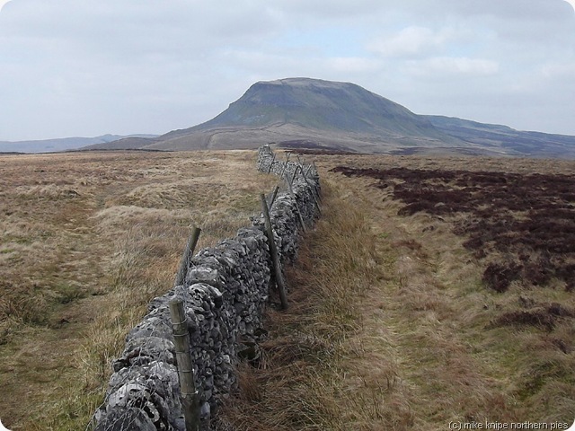
penyghent penyghent
One of the projects I decided to do this summer is to walk from Settle to Carlisle in day walks using the Settle to Carlisle railway.
And so it was that I arrived for the 10:56 train from Horton to Settle in time for the 09:56 train, due to some kind of slippage in the time-space continuum. It just so happens that there isn’t a train at 09:56 and neither was there one at 10:56 – it arrived a quarter of an hour late due to “signals”.


Luckily, Bruno was entertained by a young lad of about five or six or something who’d been wild camping with his Grandad. They also turned up an hour early due to the same gravity/time/space/British Summer Time Misunderstanding Accident.  Anyway the lad donated some of the scoff from his rucksack to Bruno’s “Save the Dawg from creeping malnutrition fund” and found some sticks for Bruno to chase and turn into tiny little sticks.
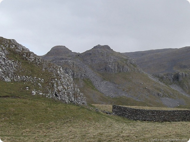
attermire scars
attermire scars
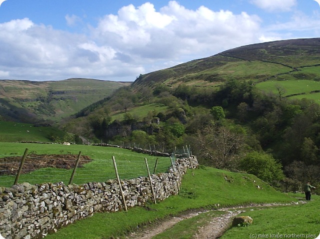
Eventually, we set off from Settle. I pretty much made up the route as I went along and it turned out to be fairly interesting.
First of all, we visited Attermire Scars – which looks like the Holy Land of your childhood but without the donkeys, roman soldiers and the people in their pyjamas with tea-towels on their heads.  Very nice and whitish and craggy.
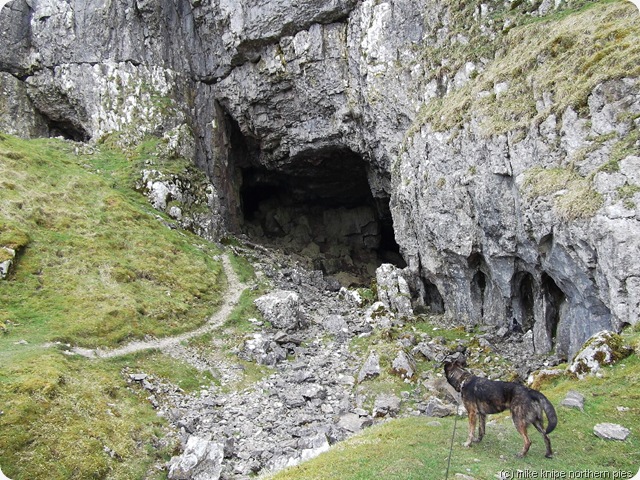
victoria cave
victoria cave
Next, we visited Victoria Cave, with it’s long history of pre-ice age hyenas, post-ice age bears, romano-british workers in a workshop and modern foxes and badgers. And the ramblers scoffing their lunch just outside. I had a brief poke around inside. It was dark.
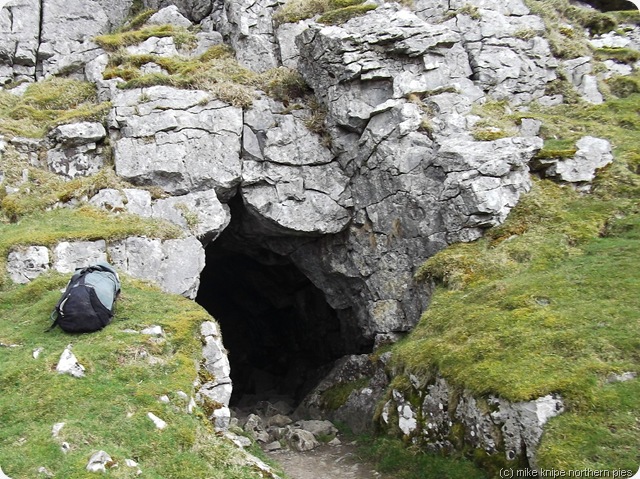
jubilee cave
jubilee cave
Then, a little further along, there was Jubilee Cave(s). This is a good place to insert children because they will pop up somewhere else from various hidden exits. There’s nothing much inside that would cause damage, apart from the roof which could take off an unguarded scalp.  I had another look inside and it was dark in there too, but with bits of daylight from various hidden exits.
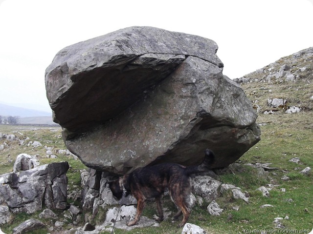
erotic boulder
erotic (erratic) boulder dhuhhh
Then there was the Winskill nature reserve and it’s erotic boulders. I took a picture. It includes the dog. Its rock from somewhere else, y’see…. glaciers did it.  There’s loads of them.

catrigg force 

After this, we had a look at Catrigg Force – a rather beautiful double waterfall in a deep gorge. I once had a swim there in a summer thunderstorm; an odd experience. No swimming today as the water temperature was probably not much more than half a dozen centigrades, which is a contra-indication to enjoyment and , it has to be said, survival.
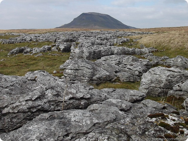
penyghent 2
penyghent
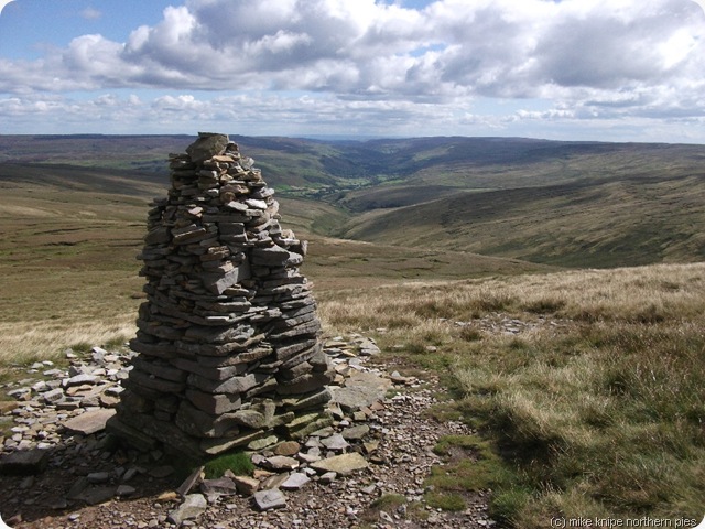
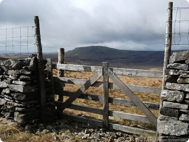
We went to Stainforth and then followed the Ribble Way towards Penyghent, which beckoned unconvincingly (as it looked quite big….)
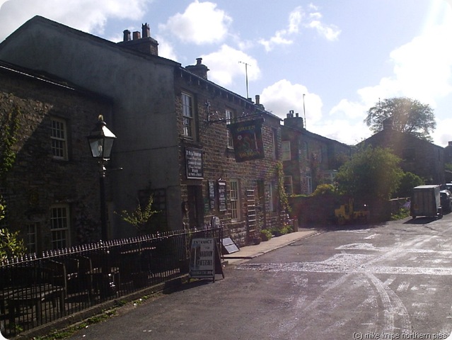
So, rejecting the advances of Penyghent , we cut down to Dub Cote and Horton.
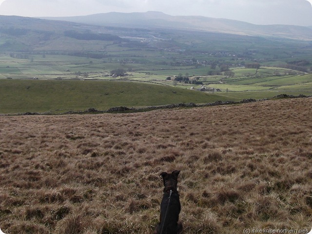
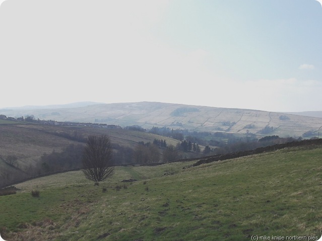
dawg considers ribblesdale
bruno considering ribblesdale
Note that the car park at Horton charges and gets very full very early, specially on summer Sundays. The station car park on the other hand, is small but free for travellers and was empty today, apart from the knipemobile. You have to brave the “no entry, no parking, just bugger off” signs from the residents of local houses, but I had no problem, apart from a “funny look”
Stage two coming soon.
Today was 10 miles and 2300 feet of ascent. It would be possible (I almost said “easy”, to include Penyghent.) My knees had had enough, though.
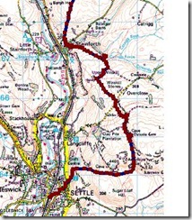
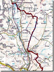
settletohorton1 settletohorton2
settletohorton1
settletohorton2

Thursday 24 March 2011

More Knee Exercises on Alston Moor


superdawg and I
I had a short visit to see Brian today to exercise the kneecap just a bit more – a little at a time, y’see.
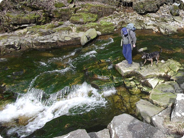
waterfall and pool gossipgate
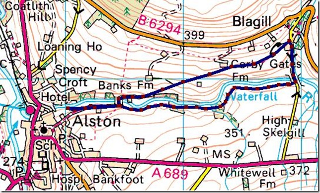
We went to Blagill, and wandered towards by a very pleasant riverside path.  This walk is very popular with locals, apparently, and much picknicking is done in the summer. There’s also one or two waterfalls with some swimmable plunge pools at foot.
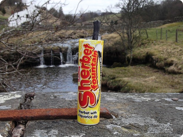
lunch
We stopped at Gossipgate Bridge for a Barrat’s Sherbert Fountain with a liquorice dip. I was immediately transported fifty years to the very edge of the civilised part of the West Riding , which was probably the last time I scoffed a tube of sherbert dip by a beck, or anywhere for that matter. I feel the need to reassure those feeling any nostaligia for 1950’s sweeties, that these do not appear to have changed much, except that the liquorice dip used to be a liquorice tube which enabled the sherbert to be inhaled. I expect that this may have killed several of my more delicate pals, but you must remember that the 1950’s was long before asthma and allergies and if people coughed a lot they probably had TB or they’d just nicked one of their Dad’s Capstan Full Strength, or, indeed a Senior Service if your Dad had been in the Navy.
But I digress.
considering the route river nent
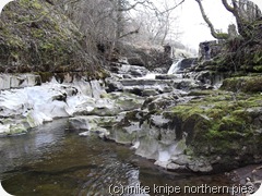
Brian knew where there was another, more bigger waterfall and with an entrance to the Nenthead Level – an underground system which linked Nenthead with the railhead at Alston, some seven miles long.
We had a look, but were defeated by thick woodland and an ever-so-slightly perilous path. I had a poke around the river bed, which is carb limestone at this point (it being sandstone a few yards upstream)
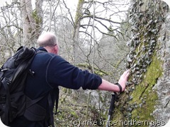
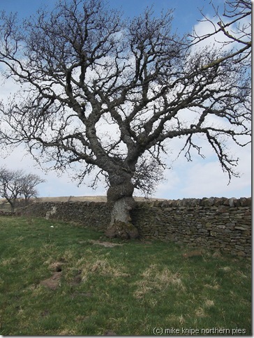
veteran ash tree
Defeated, but not cowed, we returned by the Gossipgate bridleway which rises to Blagill hamlet in about a hundred metres of up and a couple of kilometres across.
We finished by experimenting with Brian’s boomerang. This is a real boomerang and not some kind of euphemism. It wouldn’t come back (we know a song about that…) and Bruno was demonstrating his excitement at the prospect of catching it and ripping it to bits, so we went back to Nenthead for coffee instead.
alston moor
A short walk with a lot of “stuff” in it.  Only three miles and 350 feet of uphill.
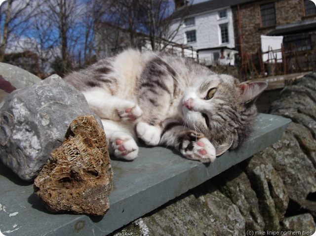
Here’s a picture of the cat who lives next door to Brian, just because she’s a nice cat.
next doors cat
This walk could be extended into Alston at not much extra effort if the walker needs to go shopping, have tea and crumpets or get absolutely rat-arsed in the wide choice of public houses before stumbling back up the lonnin…
blagill

Wednesday 23 March 2011

Spring Starts to Spring in the Woods


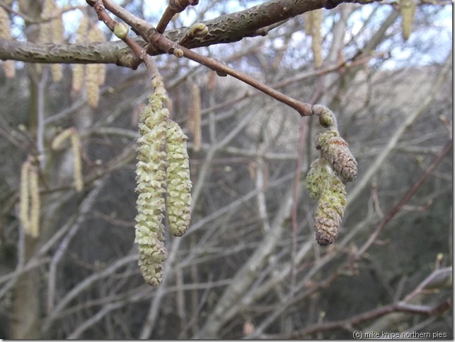
catkins near button bank
The son in law arrived this morning bearing jump leads, so we debifrillated the car and I took it for a bit of a spin and some pre-budget petrol. This would have been a really good idea had the Chancellor not reduced petrol tax…
And so, it being a warm and sunny day (17.5 C according to the knipemobile’s warmth sensors), I decided it was time to try out the knee and I went for a walk.
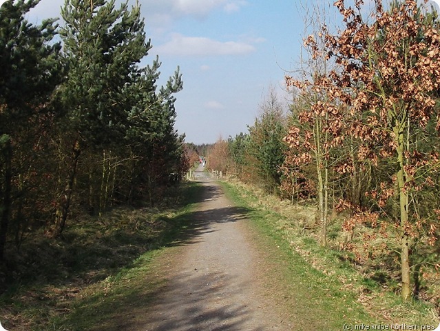
Today’s trundle took me through various bits of woodland I had been through before, and other bits that I hadn’t. There is lots and lots of woodland in this neck of the ..er… no that doesn’t really work, does it…? Anyway, lots of trees, you get the picture, I’m sure….
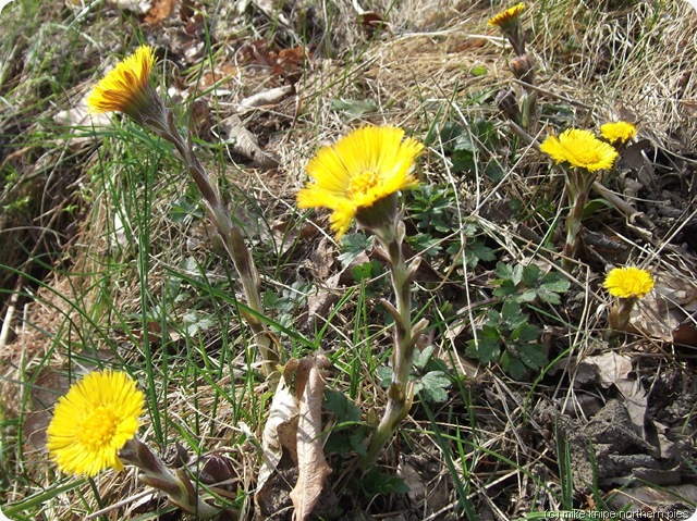
coltsfoot
It was nice to see coltsfoot in flower, the odd dandelion and a daisy (these are all technically speaking, daisies by the way) – and there was a lot more bird song than the last time I was out, and a few spring lambs enjoying the sunshine.
There were lots of other walkers, too – it being a Wednesday, of course (Wednesday is the day when people who don’t have jobs break up their week by going for a walk)
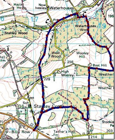
deerness valley walk
So, we trundled happily through the woods over the hill to Waterhouses and back over the hill to Crook.  The day was notable also for the number of frogs making un-frog-like sqeaking noises in various ponds and, apparently, playing some kind of piggy-back (froggy back) game….  Not sure what all that was about, really.
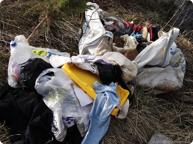
wubbish
Some prune had dumped a load of rubbish – mainly women’s clothing and general garbage. I had a close lok at the clothes, but they were well unfashionable and too small anyway, so I left it. Disgraceful. Somebody went to a lot of effort to dump this stuff. Have they no pride? Have they no council bin collection?
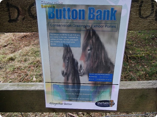
pony notice

I was hoping to see the Exmoor ponies at Button Bank, but they were hiding or something.
It was just seven miles, which may not be much, but its a start. The knee is only painful when I use it for bending. For walking, it seems to be fine…
Look at the map and see the contours!
deerness valley

Monday 21 March 2011

Mental Mapping Along the Pennines

107 kisdon fr track to tan hill day 9

This is not about yoof-crazy mapping like wot the OS don’t. Oh, no, this is about the maps that you carry about in your head.

Some pieblogreaders  have become a bit animated by the notion that I might well have a crack at walking about sixty miles of the Pennines without any kind of map ner compass ner nowt.

Y’see, people have been wandering up and down the Pennines for donkies years using the maps in their heads – I’m thinking itinerant traders, Scots herding cattle, packhorse men, soldiers, raiders and emigrants – and not a copy of a Landranger between them.

lovely seat 005

So, the other night, whilst contemplating the bottle of Vick’s vapour rub as a form of late night entertainment, I invented the route in my head. I haven’t checked it on a map and, in fact I’m resisting doing that as it feels a it would be a bit like cheating.

But the route I thought up was this:

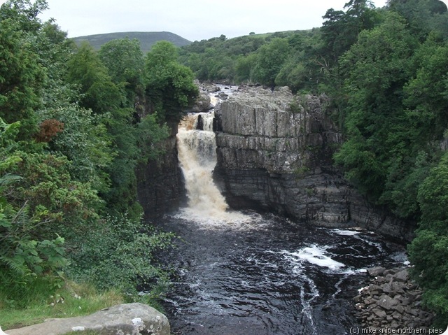
From the High Force Hotel car park, there’s a path that crosses the River Tees just a bit downstream from High Force The Waterfall. Then, its a simple matter to follow the Pennine Way al the way to Malham by turning left.

This is not the way, though. I will turn right (towards Scotland!) and follow the PW past the quarries and up on to the ridge thingy with the railway wagon on it and then follow a path going South over Hagworm Hill.
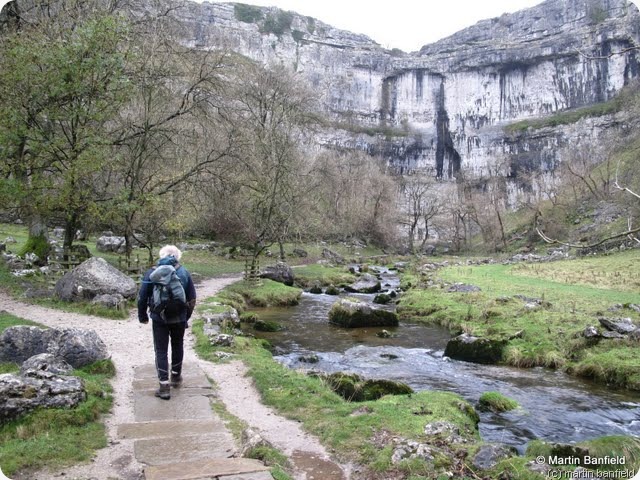
stainforth 025

One option from Hagworm Hill is to keep going uphill towards ?Long Crag upon which is on the edge of the Warcop shelling range. Following the “danger” signs South (left) would bring me to the Cumbria/Durham County boundary. This would be rough going and , I suspect there’d be a significant river crossing, or, maybe two…...

Option two would be to keep following the same path to the Brough road and follow that to the County boundary.

Next, I would follow the County boundary over Stainmore, cross the A66 at the big layby on the top and continue to Tan Hill. A short period of celebration (SPOC) at Tan Hill may be allowed if I ever get there.

The Pennine Way then heads South to Keld, and this is the best way. I’d follow it to Kisdon and then go to Muker and up the mucky lane which gives access to Lovely Seat.

094 green dragon hardraw day 9

crossing Lovely Seat would bring me to Hardraw (SPOC), then Hawes (another short celebration)

From Hawes/Gayle I could go up Drumaldrace and along the Roman road to Fleet Moss, and down the other side to ? Oughtershaw. A path goes over the Birks fell/Horsehead ridge to Halton Gill and I’d rejoin the PW at the foot of Fountains fell.

The PW would bring me to Malham for a final SPOC and the bus to Skipton.

Or I could walk back, I suppose.

The end.

This is, in fact, I believe, pretty much sixty miles of handrailing, for which little sense of direction is required. There may be local difficulties if it gets really foggy.

But if its clear, most of the route will be laid out before me.

Another alternative is to lurk on the PW at High Force and follow somebody going South…………


Thursday 17 March 2011

Moffat-Peebles 2011

oh no, time to get up....

I’ve just sent out an email to severalteen peeps about the Moffat to Peebles walk , aka Big Jugs Monthly Challenge 2011.

This is by invite and will take place from 15 to 18 April 2011 starting wiht a small celebration in the Bridge Inn in Peebles.

If you would like to enjoy this particular torture, which involves walking 35 miles over Scottish Border Hills, two nights wild(ish) camping and some carousing, and you haven’t already had an email, then let me know – preferably before 15 April.

At the moment , we have about 12 participants who say they’re coming. This means six or seven will actually start out, so there’s probably room for one or two more……

It’ll be fun. Don’t hold back. Bring pies.

moffpeeb2 009


Monday 14 March 2011

On The Bench


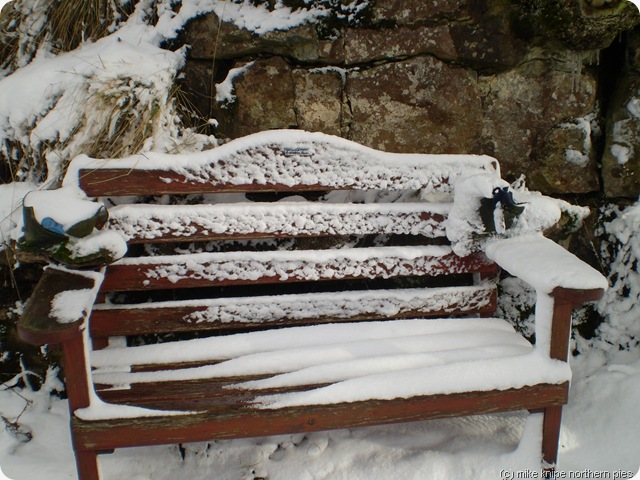
the bench
Not doing very well at the moment as far as actual walks are concerned. I’m just recovering from man-cold-flu-pneumonia-pestilence and following a specially energetic and extended game of Peggle De-Luxe on the computer Saturday night, I found that my right knee has completely seized-up like an unused handbrake and refuses to move very much from the “leg fully extended” position. Any attempt to persuade it into any other position results in much bad language and some screaming. So I’ve learned not to try.
My GP says that its either inflamed or the inevitable result of not drinking enough whisky and doing foolish and over-energetic activities such as washing up, talking to the dog and trying to remember other people’s birthdays.
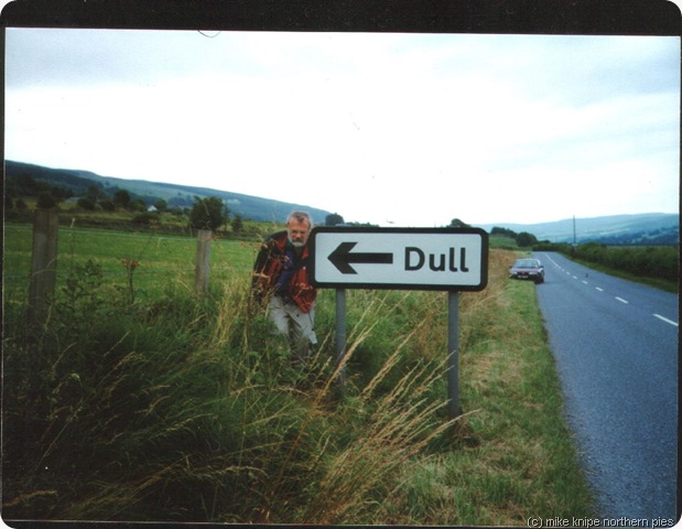
dull
So, I have to rest the knee for a week and I’ve got some lovely new tablets to go with all the others I take every day.
Various appointments and meetings have been cancelled.
If the car would start (it won’t , due to not being used for two weeks), I wouldn’t be able to drive it anyway. I am soothed somewhat by the thought that the petrol in the tank increases in value exponentially with each day that passes and, that at some point, I’ll be able to sell the stuff back to Saudi Arabia and buy a wind-generator/power station to be built in full view of Holyrood…..
Hopefully, it won’t be too long before I can return to the hills, but In the meantime, I am doomed to fester with Radio Newcastle in the background.
Another game of Peggle, I think……
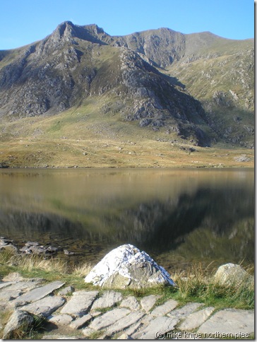
cymru22 y garn from cwm idwal

Friday 11 March 2011

Coughs and Sneezes Spread Diseases

There has been a small hiatus in blog postings. This is because I've spent a few days drinking cough medicine, spreading vick all over myself and sleeping.  It got so bad, I cancelled my trip to Galloway for this weekend. Probably just as well as I'd have infected everbody and I'm not sure if I can walk up a big hill just yet.

Here's a little relevant instructional video


And...ah....ah.....another....


I may go and say hello to some Exmoor ponies later on. This little gang are performing a winter grazing task on some lank grasses in a meadow just up the hill from here.

Friday 4 March 2011

Planning the Unplanned High Force to Malham

high force

Whenever there’s a bit of a hiatus in the walking exploits, the mind inevitably turns to things that could be done.

One thing that I’ve been thinking could be done is a walk from Malham to High Force based on an idea in AJ Brown’s 1931 book Moorland Tramping about which this blog has already touched upon.

I was thinking that AJ Brown seems to poo-poo the idea of heavy use of the map and compass, so I wondered if this journey could be completed without either – and no GPS or anything like that. Just, in fact, with the sense of direction.

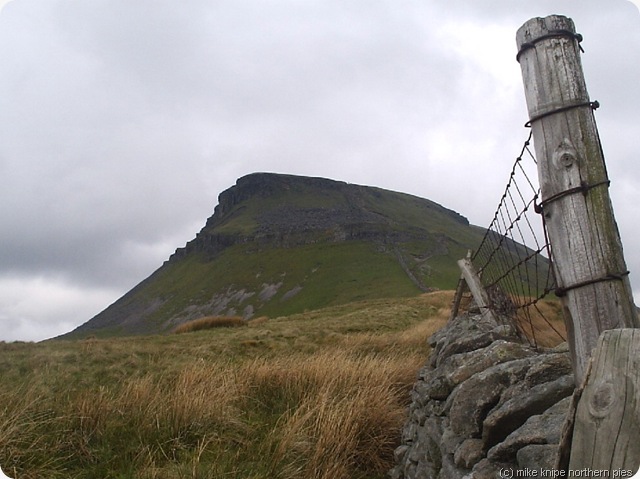
penyghent

It seems to be around sixty of your Queen’s miles from one place to the other and, it seems true that the entire journey could be completed by following the Pennine Way. Now the Pennine Way, in my umble opinion, could probably be very easily followed without a map or compass or, indeed anything which infallibly points in one direction. So this wouldn’t do. A more direct line is called for.

So, the plan is to set off with a tent and a large supply of scoff and walk between the two points in as direct a line as is feasibly possible. It seems highly likely that any route will coincide with the Pennine Way for a chunk.  I will not plan where my overnight stops will be but will listen to my body. When the corpse says its time to stop, then I’ll stop. If it says go, I’ll go.

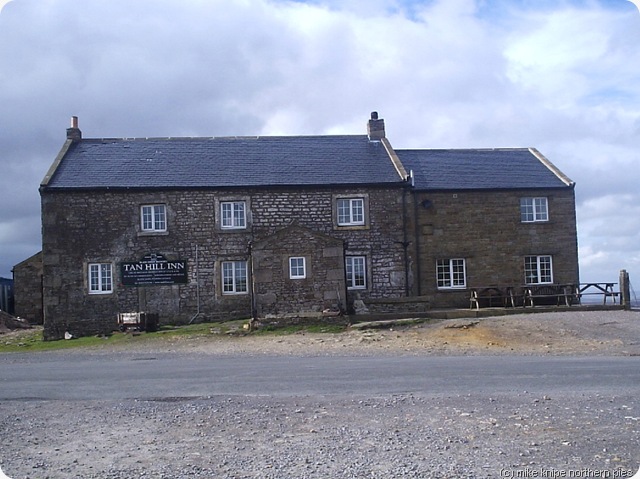
tan hill inn

I’ll follow bits of the Pennine Way, but also cut off corners and loops and, from Tan Hill, I’ll follow the Durham/Cumbria County boundary across the tussocky flat desert of Stainmore. This will be fun. I may visit Great Knipe.

I may go North to South because:

1) High Force is much easier to leave at than arrive at if you haven’t got anything to navigate with.

2) Its not far from home and I might be able to get a lift

3) I might get a nice tan by heading into the sun, as opposed to a burnt neck.

4) There is no 4.

The only question is “when”?   I fancy the summer. I might have to postpone something else already planned.

June would be good – lots of daylight, skylarks,  a fresh, blue breeze… beautiful Pennines. Four or five days should do it.

This is the plan. There is not much more to it. (I have to choose the food and buy the gas…)

malham cove