
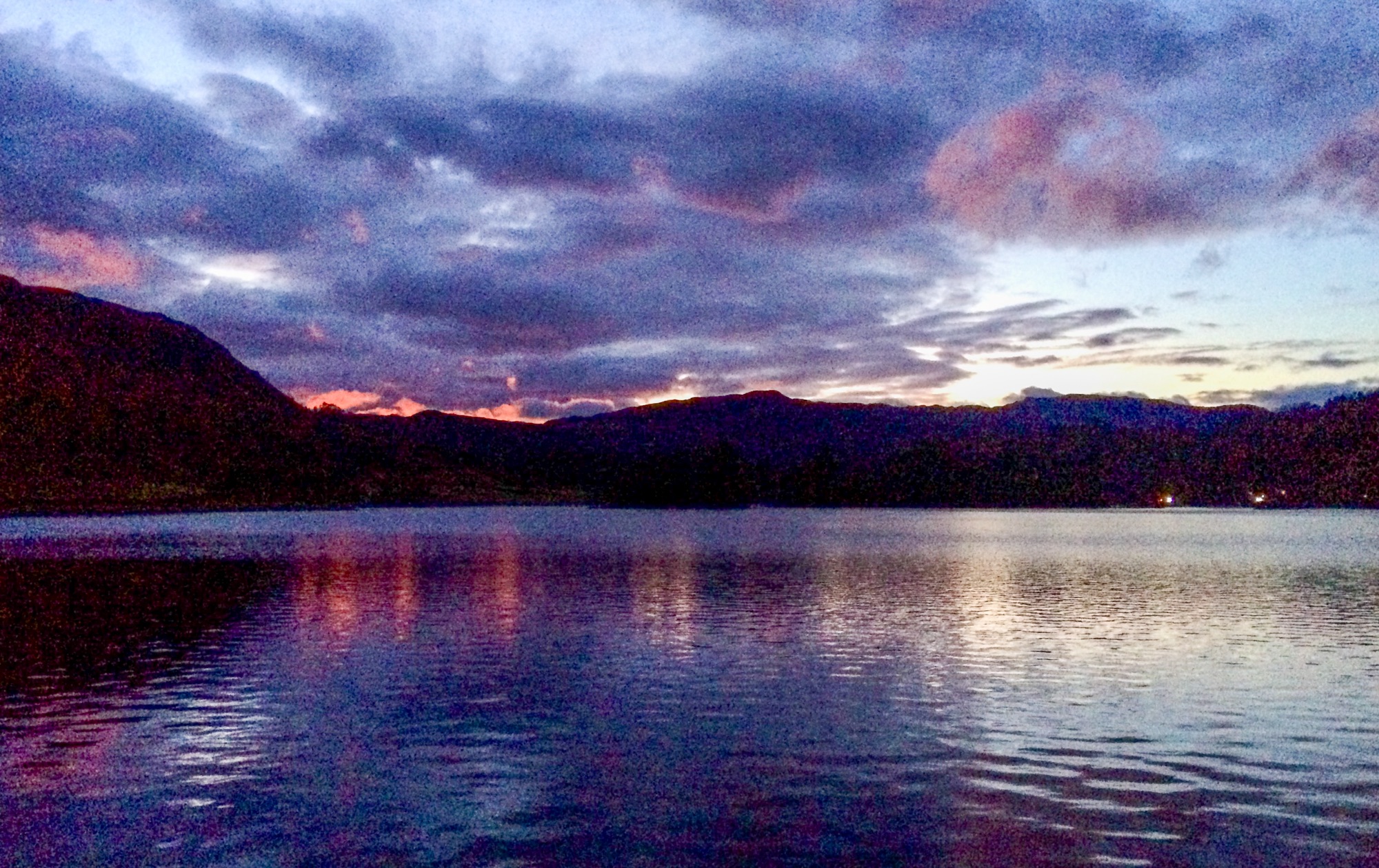
After lunch, seeing as the day was fine and warm with yer actual blue skies, me and superdawg decided that since it was now February (pinch punch..), it was finally time to do our new adopt-a-path route.

And so, finding our warm gloves and lead, we headed off up the hill to find FP167 – a pleasant and well used path between two hedges.
We went on to FP49 (which is the one that started it all off in the first place) – FP51 (missing footpath sign.) Come to think of it, missing bus stop sign too. the timetable was there. But not the sign. A driver out before the gritter, most likely…


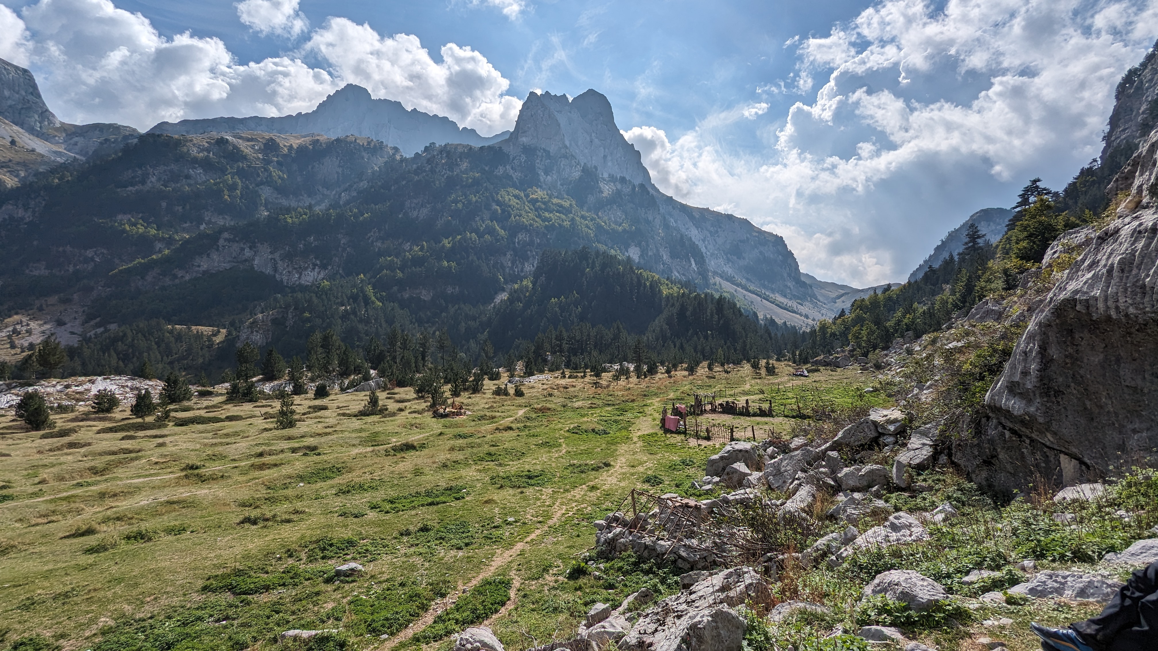
FP56 was next – an ancient path with a section of hollow way at the top. FP176, through the pastures and a muddy cropped field to Annapoorna.
FP108 another pasture and another mudfest – but this one has, in the past, been fertilised with night soil. Its full of ashes, pottery and bits of glass. Homelands Hospital , now closed, is nearby. Homelands was once the main hospital for Crook and Willington, pre-NHS days… I wonder if this is the source of the night soil?

Anyway – onwards to FP106, up to the golf course, and FP34 from the golf course, along the edge overlooking Crook where we were greeted by a gang of small ponies. FP106 and fP34 need some waymarking in the golf course grounds….

Then down the steep hill to join the Deerness valley Walk that takes us back to town.
I’ll do this again in July. Its a good walk – just under 7 miles and 650 feet of uphill.
I have to report all of this stuff to the County Council on line. Its a clunky system. I’ll do it later.


.jpg)

.jpg)


.jpg)


8 comments:
Oops - they've spelt 'Annapurna' wrong!
At first sight of those ponies I thought one was superdawg in drag!
Er......no.
Its the spot heights on the hill NW of the golf course - the contours go up, but the spot heights go down. The summit of the hill is actually 249 metres.
Well no wonder we couldn't spot the mistake - somebody put a dirty great big blue line across the numbers!
And just up a bit and to the left is Crook's main sledging field.
There's many a trip to casualty started here...
Damn I didn't notice the heights. I was more thinking about stuff that is shown on the map that no longer exist. Ramars & Roddymoor farm being just two, there are loads more.
I imagine those are just because the map is old.
It doesn't show the new road/bypass either, Steven.
And the Roddymoor glacier is missing, of course....
Post a Comment