


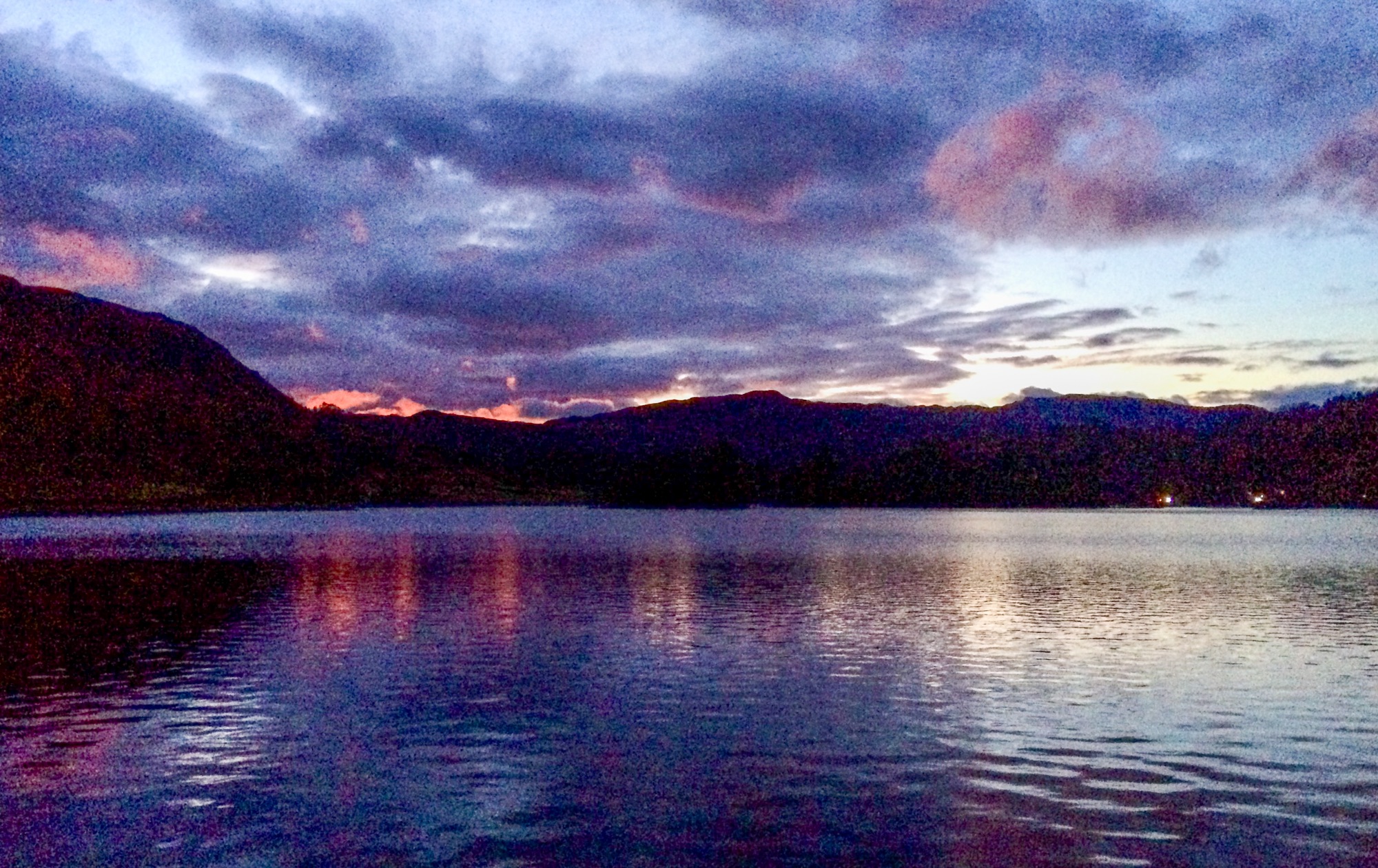
After some initial locational difficulties, (we got lost), me and brother John, whom I collected from Kendal on the way, eventually turned up at Dunsop Bridge in the Forest of Bowland. This is one of those bits of Yorkshire ceded to Lancashire in the 1974 local authority debacle of..er.. 1974. The original boundary stone still announces the border between Lancs and Yorks at the appropriate spot, though.
Here, (Dunsop Bridge) we parked badly and teamed up with Mike from Go4awalk for the bagging of the ever so green but steep Middle Knoll, 395 metres, a couple of miles up the valley, followed by the boggier, hetherier and much higher Whins Brow. This was attained by a rather fine path which traverses across the face of the hill in an almost mountain-path kind of way. Its just 476 metres’ though, so not a big deal really. During this entire operation, I struggled to control my walking poles, the left one (or is it the right one?), refusing to be adjusted and collapsing to a very short stick at times. I twisted and played with it till Mike offered to help and proceeded to dismantle it altogether.
Its an ill wind, though, and this provided an opportunity to examine the inner workings closely which resulted ultimately in a solution to the problem. Its OK now, ta. I mended it.
I expect you were worrying about this.
At this point, I realised it was half three and we still had eight miles to go. So I chopped a lump off the walk, and we were back at the cars by six, even having time for an ice cream in Dunsop Bridge.
We basically dropped down to the Trough of Bowland and followed the road and riverside paths back to the start.
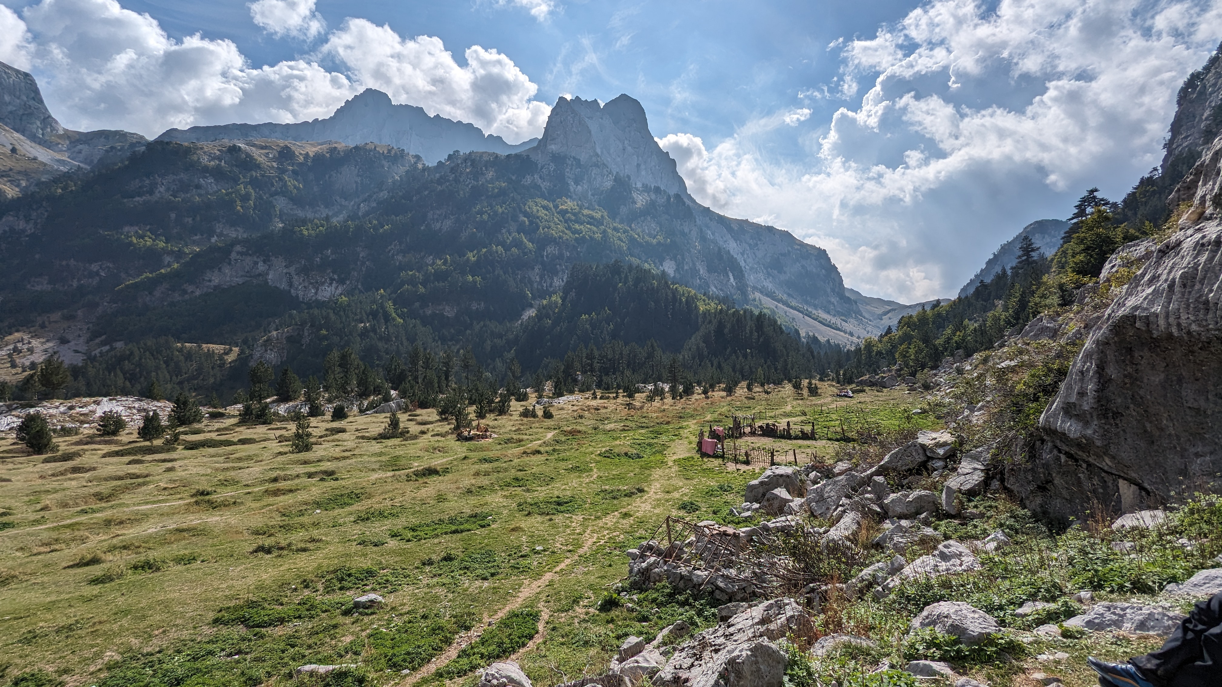
For those unfamiliar with it, the Trough of Bowland is a moorland pass holding the ancient route from East Lancashire to Lancaster the old County town of Lancashire. Here was the assizes and the centre of administration for the County. It was also the nearest port to the Western bit of the West Riding of Yorkshire, and East Lancs too.
Today, it’s a single track road but with a fair amount of traffic. At one point it was the main route and of very significant strategic importance – dating back a very long time indeed.
Anyway, it were a grand day of warm sunshine and to prove that summer is finally here, the tormentil is flowering at last.
Here, (Dunsop Bridge) we parked badly and teamed up with Mike from Go4awalk for the bagging of the ever so green but steep Middle Knoll, 395 metres, a couple of miles up the valley, followed by the boggier, hetherier and much higher Whins Brow. This was attained by a rather fine path which traverses across the face of the hill in an almost mountain-path kind of way. Its just 476 metres’ though, so not a big deal really. During this entire operation, I struggled to control my walking poles, the left one (or is it the right one?), refusing to be adjusted and collapsing to a very short stick at times. I twisted and played with it till Mike offered to help and proceeded to dismantle it altogether.
Its an ill wind, though, and this provided an opportunity to examine the inner workings closely which resulted ultimately in a solution to the problem. Its OK now, ta. I mended it.
I expect you were worrying about this.
At this point, I realised it was half three and we still had eight miles to go. So I chopped a lump off the walk, and we were back at the cars by six, even having time for an ice cream in Dunsop Bridge.
We basically dropped down to the Trough of Bowland and followed the road and riverside paths back to the start.
For those unfamiliar with it, the Trough of Bowland is a moorland pass holding the ancient route from East Lancashire to Lancaster the old County town of Lancashire. Here was the assizes and the centre of administration for the County. It was also the nearest port to the Western bit of the West Riding of Yorkshire, and East Lancs too.
Today, it’s a single track road but with a fair amount of traffic. At one point it was the main route and of very significant strategic importance – dating back a very long time indeed.
Anyway, it were a grand day of warm sunshine and to prove that summer is finally here, the tormentil is flowering at last.
Incidentally, the white things appearing on some of the pics is cotton grass. Its not a grass, its a sedge, and thats not cotton either. Hills with the name "White Hill" are often called so due to vast swathes of the stuff making it look like its been snowing. High protein scoff for yer red grouse, though - and qute pretty too...
Sedges have edges and rushes are round (around) - if you pick a sedge and roll the stalk between your fingers, it will "click" because the stalks are triangular. So sedges have edges , see? thats how you tell..... (simplification alert!)
Don't pick wild flowers just so you can see if its a sedge or not by the way. This is potentially very naughty.
We walked 10 miles and climbed 1900 feet by the way.


.jpg)

.jpg)


.jpg)


No comments:
Post a Comment